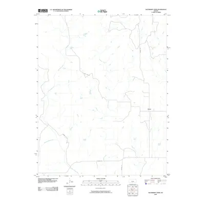
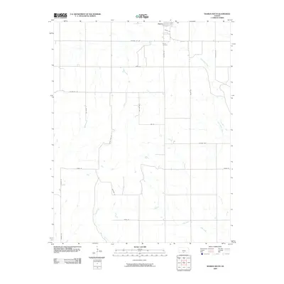
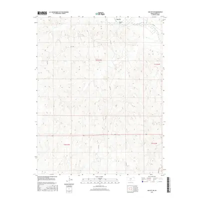
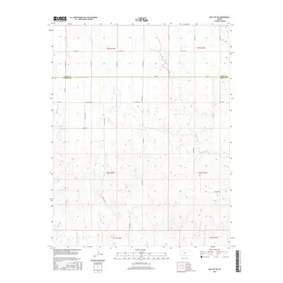
1968 Map of Sun City SW
USGS Topo · Published 1983About this map
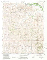
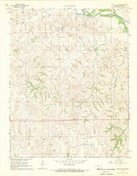
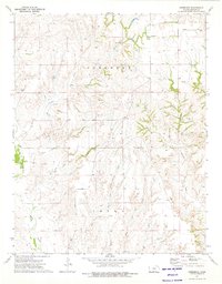
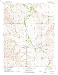
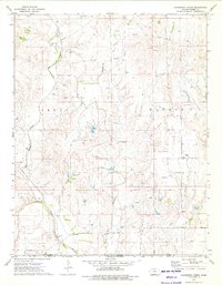
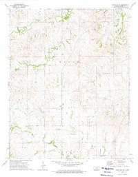
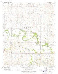
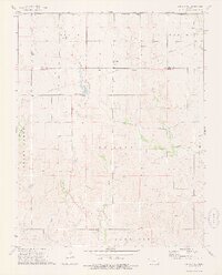
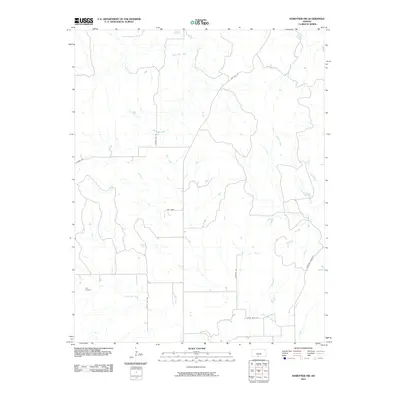
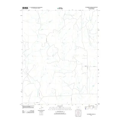
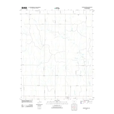
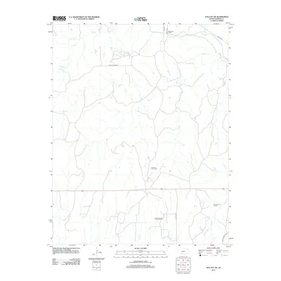
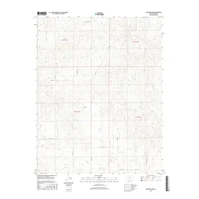
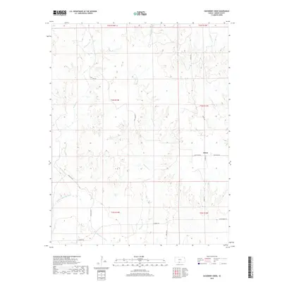
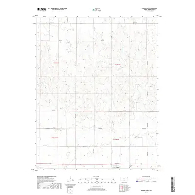
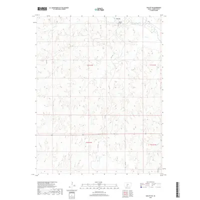
The Medicine Lodge River winds through the northern portion of this landscape, crossed by the Memorial Bridge as it flows parallel to the Atchison Topeka and Santa Fe railroad line. This 1960s survey captures a rural territory in Barber County dominated by resource extraction, where the Sun City Oil and Gas Field and Deerhead North Oil and Gas Field mark the land with numerous Gas Wells, Oil Wells, and a connecting Pipeline. Significant industrial activity is evidenced by a Mine with associated Air Shafts, along with a Quarry and multiple Gravel Pits distributed across the terrain. Drainage is defined by a network of local waterways including Elk Creek, Bear Creek, and Dog Creek, illustrating the complex hydrology that historically influenced the development of the Sun City and Deerhead districts.
Find a feature on this map
24 named features on this map. Tap any name to fly to it.
Don’t see what you’re looking for? This feature index may not catch every label — zoom into the map to look around manually.
Map Details
Editions of this 1968 Sun City SW Map
2 editions found
Historical Maps of Sun City Through Time
72 maps found
1968 Sun City SW
Barber County, KS
1972 Sharon South
Barber County, KS
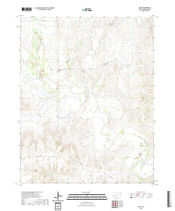
1973 Aetna
Barber County, KS
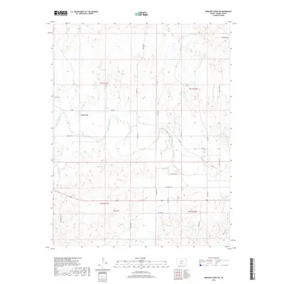
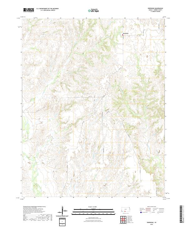
1973 Deerhead
Barber County, KS
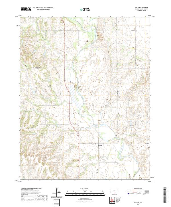
1973 Gerlane
Barber County, KS
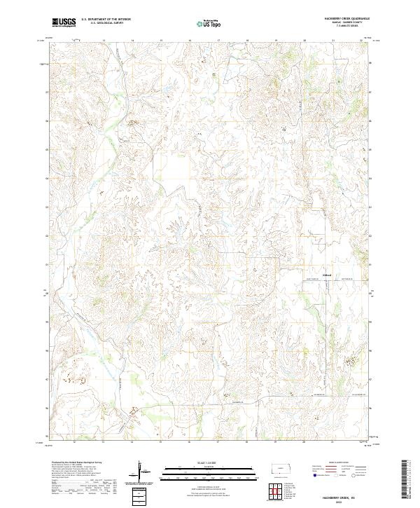
1973 Hackberry Creek
Barber County, KS
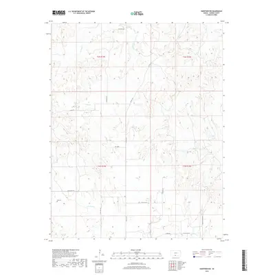
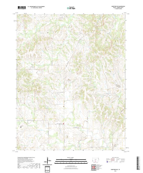
1973 Hardtner NW
Barber County, KS
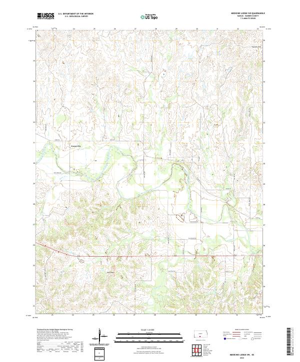
1973 Medicine Lodge SW
Barber County, KS
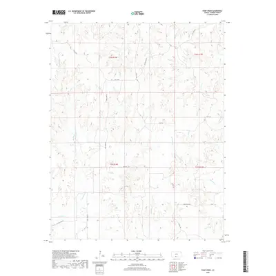
1973 Pump Creek
Barber County, KS
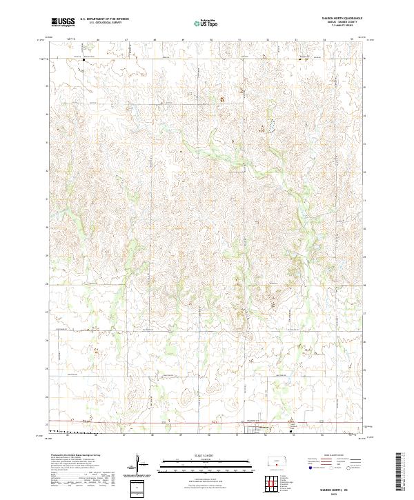
1973 Sharon North
Barber County, KS
1973 Stubbs
Barber County, KS
1973 Sun City NE
Barber County, KS
2009 Aetna
Barber County, KS
2009 Deerhead
Barber County, KS
2009 Gerlane
Barber County, KS
2009 Hackberry Creek
Barber County, KS
2009 Medicine Lodge SW
Barber County, KS
2009 Pump Creek
Barber County, KS
2009 Sharon North
Barber County, KS
2009 Sharon South
Barber County, KS
2009 Stubbs
Barber County, KS
2009 Sun City NE
Barber County, KS
2009 Sun City SW
Barber County, KS
2010 Hardtner NW
Barber County, KS
2012 Aetna
Barber County, KS
2012 Deerhead
Barber County, KS
2012 Gerlane
Barber County, KS
2012 Hackberry Creek
Barber County, KS
2012 Hardtner NW
Barber County, KS
2012 Medicine Lodge SW
Barber County, KS
2012 Pump Creek
Barber County, KS
2012 Sharon North
Barber County, KS
2012 Sharon South
Barber County, KS
2012 Stubbs
Barber County, KS
2012 Sun City NE
Barber County, KS
2012 Sun City SW
Barber County, KS
2015 Aetna
Barber County, KS
2015 Deerhead
Barber County, KS
2015 Gerlane
Barber County, KS
2015 Hardtner NW
Barber County, KS
2015 Medicine Lodge SW
Barber County, KS
2015 Sharon North
Barber County, KS
2015 Sharon South
Barber County, KS
2015 Sun City SW
Barber County, KS
2016 Hackberry Creek
Barber County, KS
2016 Pump Creek
Barber County, KS
2016 Stubbs
Barber County, KS
2016 Sun City NE
Barber County, KS
2018 Aetna
Barber County, KS
2018 Deerhead
Barber County, KS
2018 Gerlane
Barber County, KS
2018 Hackberry Creek
Barber County, KS
2018 Hardtner NW
Barber County, KS
2018 Medicine Lodge SW
Barber County, KS
2018 Pump Creek
Barber County, KS
2018 Sharon North
Barber County, KS
2018 Sharon South
Barber County, KS
2018 Stubbs
Barber County, KS
2018 Sun City NE
Barber County, KS
2018 Sun City SW
Barber County, KS
2022 Aetna
Barber County, KS
2022 Deerhead
Barber County, KS
2022 Gerlane
Barber County, KS
2022 Hackberry Creek
Barber County, KS
2022 Hardtner NW
Barber County, KS
2022 Medicine Lodge SW
Barber County, KS

2022 Pump Creek
Barber County, KS
2022 Sharon North
Barber County, KS
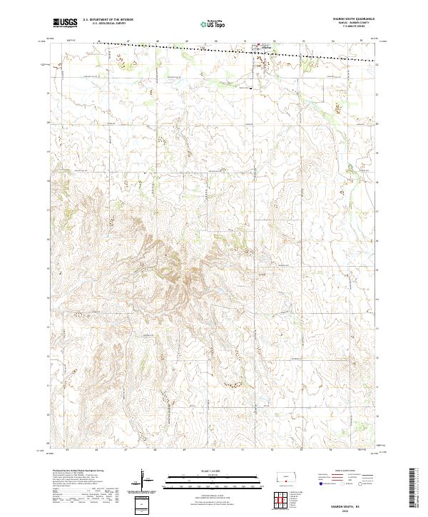
2022 Sharon South
Barber County, KS
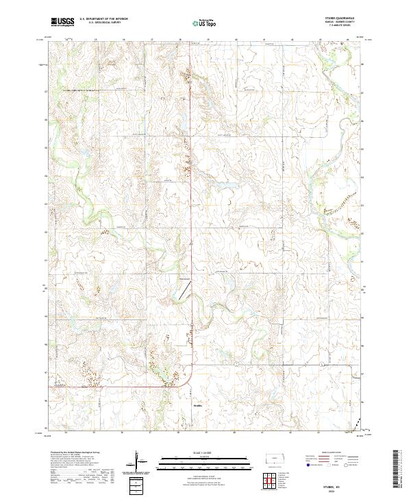
2022 Stubbs
Barber County, KS
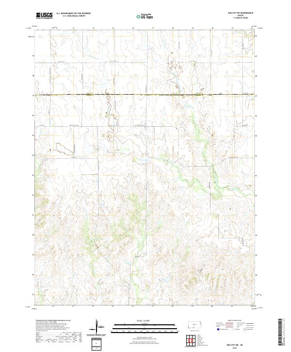
2022 Sun City NE
Barber County, KS
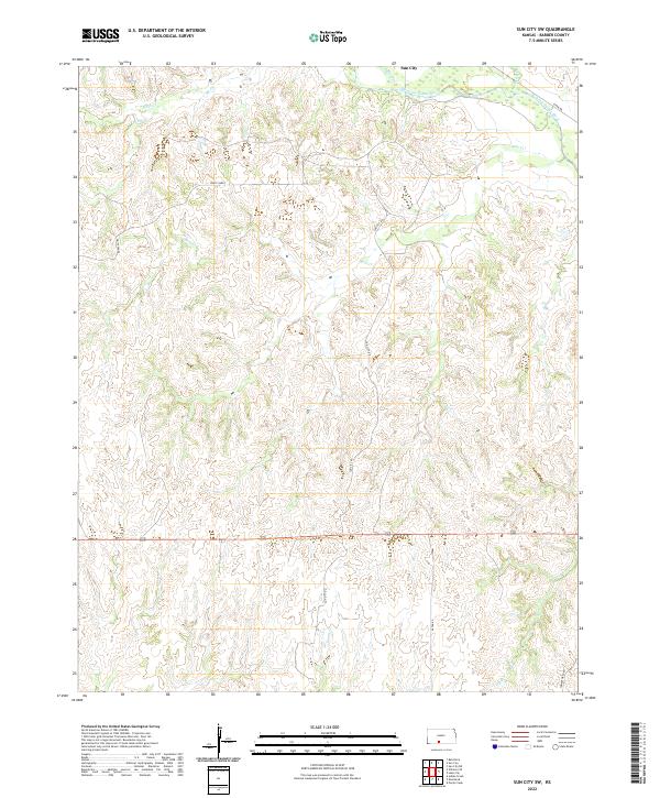
2022 Sun City SW
Barber County, KS