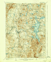
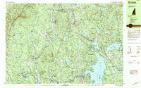
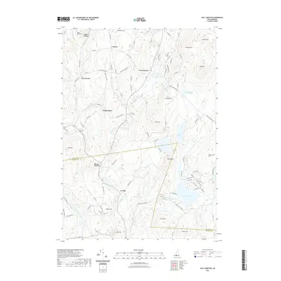
1907 Map of Sunapee
USGS Topo · Published 1936About this map
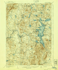
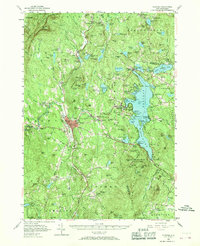
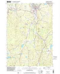
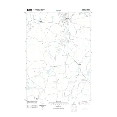
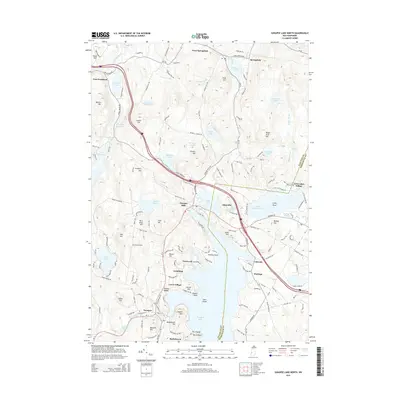
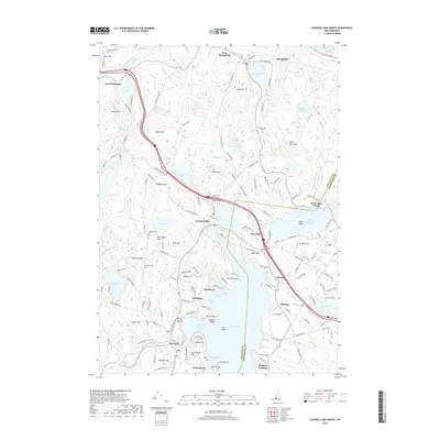
Lake Sunapee serves as the central focal point of this Sullivan County landscape, its waters traced by a designated Steamboat Route that connected various waterfront landings at the beginning of the twentieth century. The eastern shore is dotted with early resort and recreational developments such as Soo Nipi Park, Blodgett Landing, and Lakeside, reflecting the area's established identity as a summer destination. To the west, the industrial and commercial hub of Newport sits at the junction of the Sugar River and its south branch, where the Boston and Maine RR provided vital transportation links.
Find a feature on this map
141 named features on this map. Tap any name to fly to it.
Don’t see what you’re looking for? This feature index may not catch every label — zoom into the map to look around manually.
Map Details
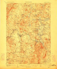
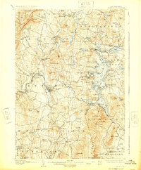
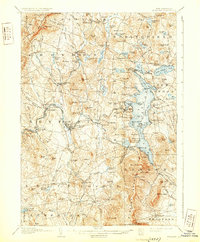
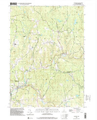
Editions of this 1907 Sunapee Map
7 editions found

Historical Maps of Newport Through Time
61 maps found

1902 Sunapee
Sullivan County, NH

1905 Sunapee
Sullivan County, NH
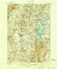
1907 Sunapee
Sullivan County, NH
1955 Sunapee
Sullivan County, NH

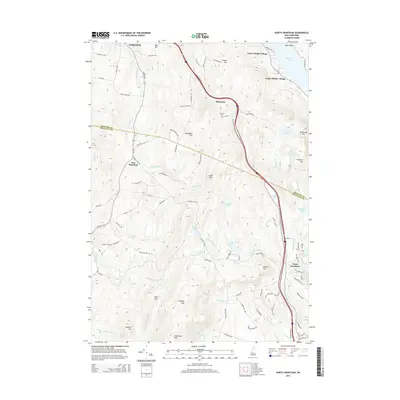
1984 Lovewell Mountain
Sullivan County, NH
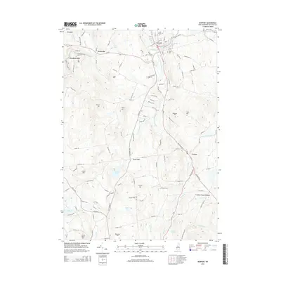
1984 Newport
Sullivan County, NH
1984 Sunapee
Sullivan County, NH
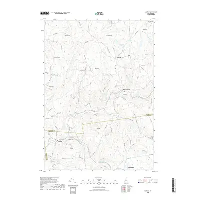
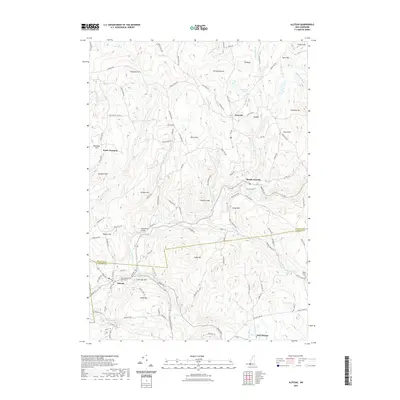
1998 Alstead
Sullivan County, NH
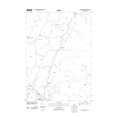
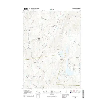
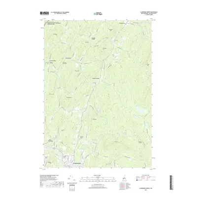
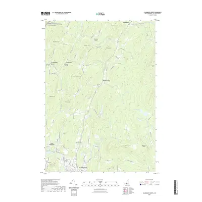
1998 Claremont North
Sullivan County, NH
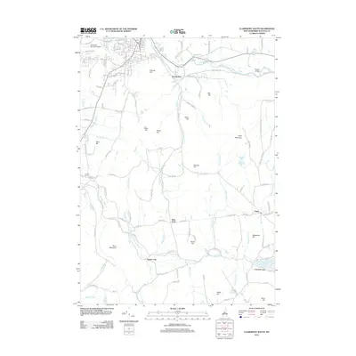
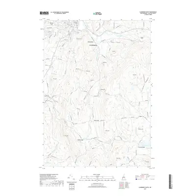
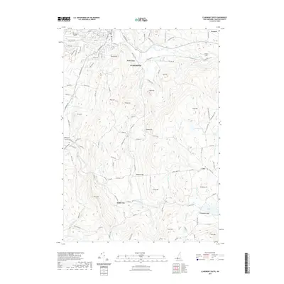
1998 Claremont South
Sullivan County, NH

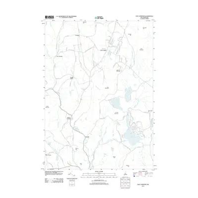
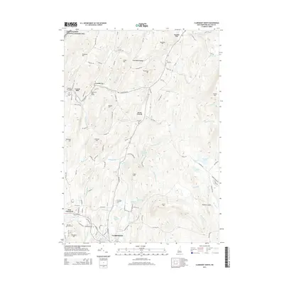
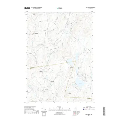
1998 East Lempster
Sullivan County, NH

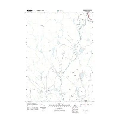
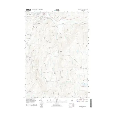
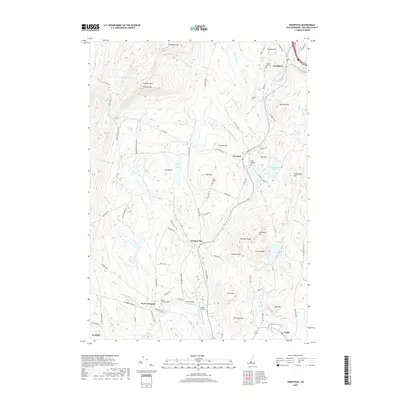
1998 Grantham
Sullivan County, NH
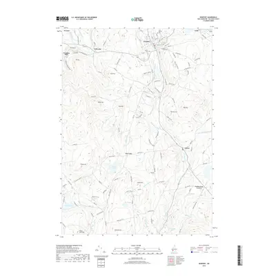
1998 Newport
Sullivan County, NH
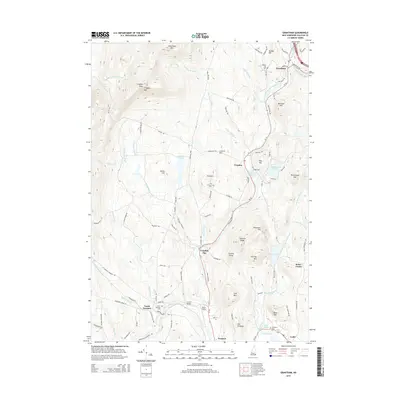
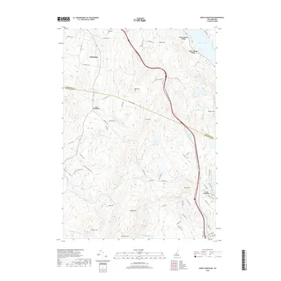
1998 North Grantham
Sullivan County, NH
1998 Sunapee Lake North
Sullivan County, NH

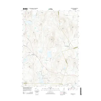
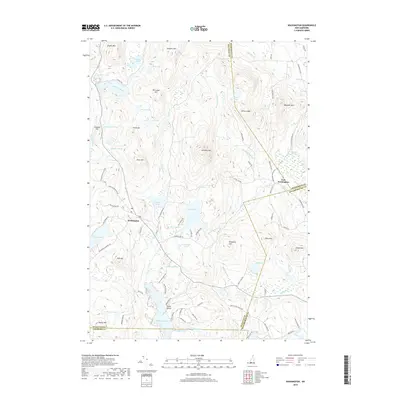
1998 Washington
Sullivan County, NH
2012 Alstead
Sullivan County, NH
2012 Claremont North
Sullivan County, NH
2012 Claremont South
Sullivan County, NH
2012 East Lempster
Sullivan County, NH
2012 Grantham
Sullivan County, NH
2012 Newport
Sullivan County, NH
2012 North Grantham
Sullivan County, NH
2012 Sunapee Lake North
Sullivan County, NH
2012 Washington
Sullivan County, NH

2015 Alstead
Sullivan County, NH
2015 Claremont North
Sullivan County, NH
2015 Claremont South
Sullivan County, NH
2015 East Lempster
Sullivan County, NH
2015 Grantham
Sullivan County, NH
2015 Newport
Sullivan County, NH
2015 North Grantham
Sullivan County, NH
2015 Sunapee Lake North
Sullivan County, NH
2015 Washington
Sullivan County, NH
2018 Alstead
Sullivan County, NH
2018 Claremont North
Sullivan County, NH
2018 Claremont South
Sullivan County, NH
2018 East Lempster
Sullivan County, NH
2018 Grantham
Sullivan County, NH
2018 Newport
Sullivan County, NH
2018 North Grantham
Sullivan County, NH
2018 Sunapee Lake North
Sullivan County, NH
2018 Washington
Sullivan County, NH
2021 Alstead
Sullivan County, NH
2021 Claremont North
Sullivan County, NH
2021 Claremont South
Sullivan County, NH
2021 East Lempster
Sullivan County, NH
2021 Grantham
Sullivan County, NH
2021 Newport
Sullivan County, NH
2021 North Grantham
Sullivan County, NH
2021 Sunapee Lake North
Sullivan County, NH
2021 Washington
Sullivan County, NH
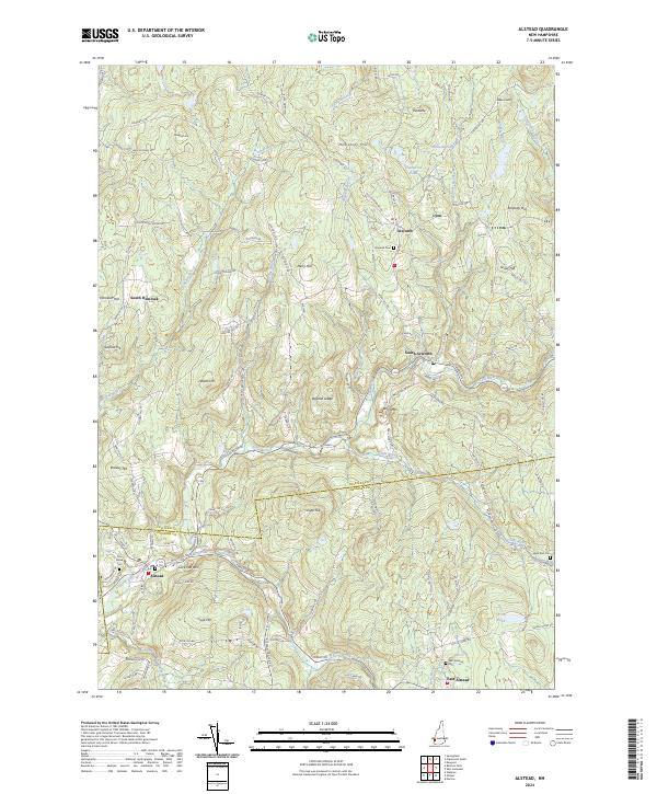
2024 Alstead
Sullivan County, NH
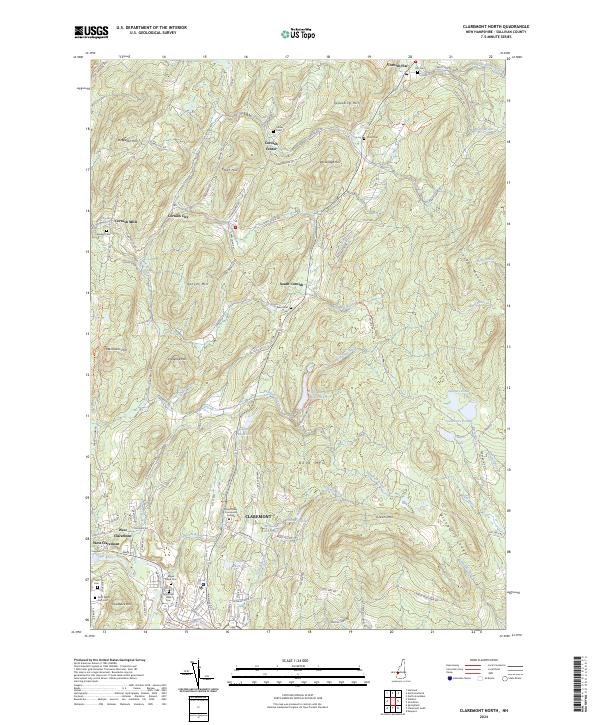
2024 Claremont North
Sullivan County, NH
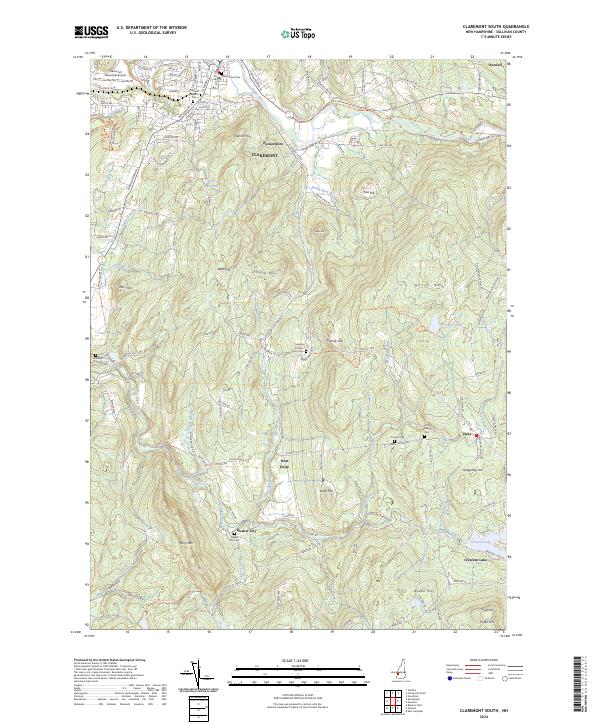
2024 Claremont South
Sullivan County, NH
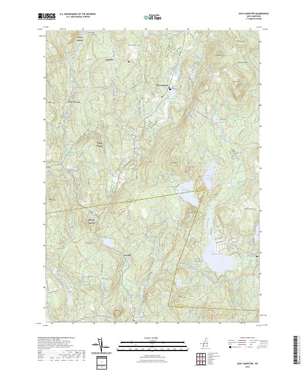
2024 East Lempster
Sullivan County, NH

2024 Grantham
Sullivan County, NH
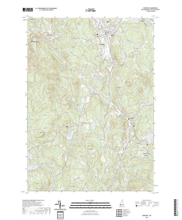
2024 Newport
Sullivan County, NH
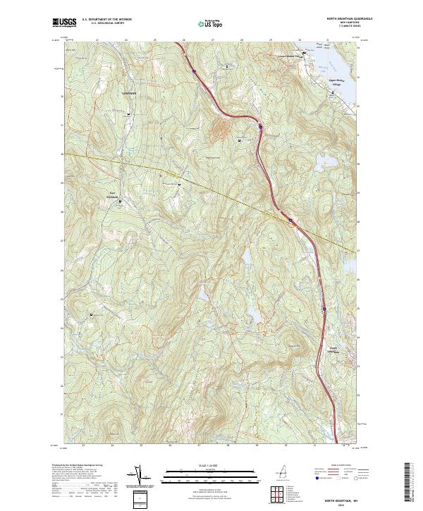
2024 North Grantham
Sullivan County, NH

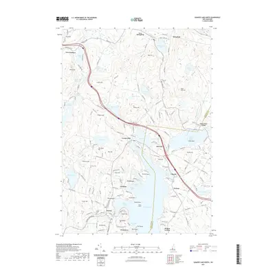
2024 Sunapee Lake North
Sullivan County, NH
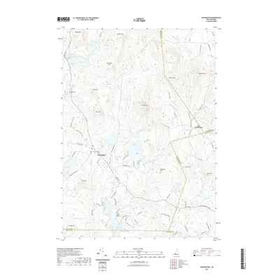
2024 Washington
Sullivan County, NH