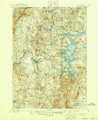
1907 Map of Sunapee
USGS Topo · Published 1947About this map
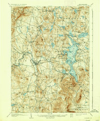
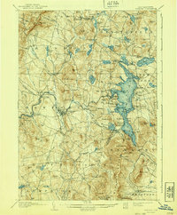
The Sugar River corridor serves as the industrial and transit spine of this Sullivan County region, connecting the manufacturing hub of Newport to the vast waters of Lake Sunapee. At the turn of the century, the Boston and Maine RR defined the western landscape, serving stops like North Newport P. O. and Kelleyville. To the east, the lake culture is in full bloom, featuring a dedicated Steamboat Route that linked waterfront landings such as Burkehaven, Blodgett Landing, and the seasonal enclaves of Brightwood and Oakland. The map reveals a transition from the agricultural uplands of Croydon and Springfield to a growing recreation economy. Notable early 20th-century landmarks include the Pillsbury State Forest Res in the south and the remote Chandlerville P. O., illustrating the era's mix of resource conservation and small-town postal geography.
Find a feature on this map
158 named features on this map. Tap any name to fly to it.
Don’t see what you’re looking for? This feature index may not catch every label — zoom into the map to look around manually.
Map Details
Editions of this 1907 Sunapee Map
7 editions found
Other maps of this area

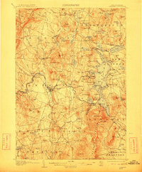
1902 · Sunapee
USGS Topo · 1:62,500

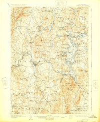
1905 · Sunapee
USGS Topo · 1:62,500

1906 · Hanover
USGS Topo · 1:62,500

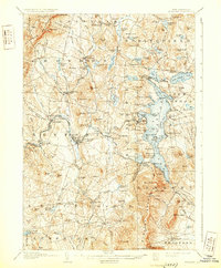
1907 · Sunapee
USGS Topo · 1:62,500

1908 · Hanover
USGS Topo · 1:62,500

1926 · Hillsboro
USGS Topo · 1:62,500

1926 · Claremont
USGS Topo · 1:62,500

1927 · Bellows Falls
USGS Topo · 1:48,000

1927 · Cardigan
USGS Topo · 1:62,500

1927 · Mascoma
USGS Topo · 1:62,500