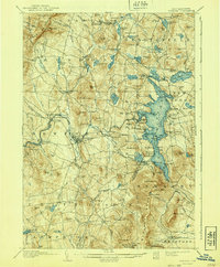
1907 Map of Sunapee
USGS Topo · Published 1940About this map
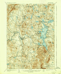
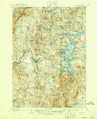
The sprawling waters of Lake Sunapee dominate the eastern half of this Sullivan County landscape, serving as a focal point for the region's early 20th-century development. Along its irregular shoreline, established landings and summer colonies like Blodgett Landing, Soo Nipi Park, and Brightwood show the area's growth as a destination, while the Boston and Maine Railroad winds through the southern terrain, connecting the shoreline at Newbury to industrial points west.
Find a feature on this map
130 named features on this map. Tap any name to fly to it.
Don’t see what you’re looking for? This feature index may not catch every label — zoom into the map to look around manually.
Map Details
Editions of this 1907 Sunapee Map
7 editions found
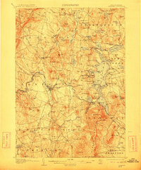
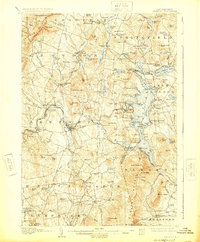
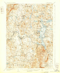
Other maps of this area

1902 · Sunapee
USGS Topo · 1:62,500

1905 · Sunapee
USGS Topo · 1:62,500

1906 · Hanover
USGS Topo · 1:62,500

1907 · Sunapee
USGS Topo · 1:62,500

1908 · Hanover
USGS Topo · 1:62,500

1926 · Hillsboro
USGS Topo · 1:62,500

1926 · Claremont
USGS Topo · 1:62,500

1927 · Bellows Falls
USGS Topo · 1:48,000

1927 · Cardigan
USGS Topo · 1:62,500

1927 · Mascoma
USGS Topo · 1:62,500