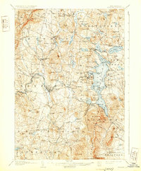
1907 Map of Sunapee
USGS Topo · Published 1931About this map
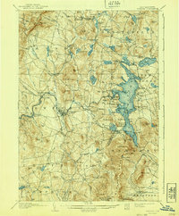
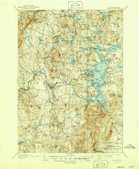
The Sugar River valley serves as the industrial and transit corridor for this early twentieth-century landscape, centered on the manufacturing hub of Newport. The Boston and Maine RR tracks parallel the river, connecting a string of riverside hamlets including Kelleyville, Northville, and Guild. This era finds Lake Sunapee established as a significant destination, evidenced by the prominent Steamboat Route connecting points like Georges Mills and Lakeside with the rail terminus at Edgemont.
Find a feature on this map
137 named features on this map. Tap any name to fly to it.
Don’t see what you’re looking for? This feature index may not catch every label — zoom into the map to look around manually.
Map Details
Editions of this 1907 Sunapee Map
7 editions found
Other maps of this area

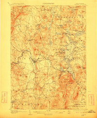
1902 · Sunapee
USGS Topo · 1:62,500

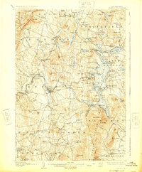
1905 · Sunapee
USGS Topo · 1:62,500

1906 · Hanover
USGS Topo · 1:62,500

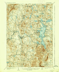
1907 · Sunapee
USGS Topo · 1:62,500

1908 · Hanover
USGS Topo · 1:62,500

1926 · Hillsboro
USGS Topo · 1:62,500

1926 · Claremont
USGS Topo · 1:62,500

1927 · Bellows Falls
USGS Topo · 1:48,000

1927 · Cardigan
USGS Topo · 1:62,500

1927 · Mascoma
USGS Topo · 1:62,500