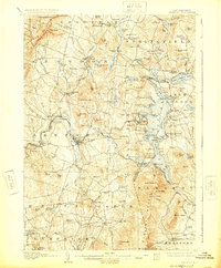
1907 Map of Sunapee
USGS Topo · Published 1925About this map
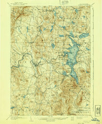
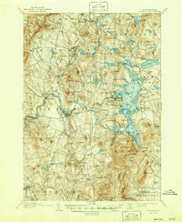
Lake Sunapee and its surrounding highlands define this region of Sullivan County at the start of the twentieth century. The map highlights a thriving lakeside culture, with a noted Steamboat Route connecting points such as Blodgett Landing and Burkehaven, while lakeside communities like Georges Mills and Lakeside anchor the northern shores. To the west, the industrial and commercial hub of Newport serves as a primary settlement, connected to the wider world by the Boston and Maine RR. The terrain is characterized by prominent peaks including Croydon Mountain and Sunapee Mountain, which overlook a network of smaller mill towns and post offices like Mill Village and North Newport PO. This survey illustrates the transition from a nineteenth-century agricultural and milling economy toward a landscape increasingly shaped by recreation and the seasonal population around its many ponds and lakes.
Find a feature on this map
152 named features on this map. Tap any name to fly to it.
Don’t see what you’re looking for? This feature index may not catch every label — zoom into the map to look around manually.
Map Details
Editions of this 1907 Sunapee Map
7 editions found
Other maps of this area

1902 · Sunapee
USGS Topo · 1:62,500

1905 · Sunapee
USGS Topo · 1:62,500

1906 · Hanover
USGS Topo · 1:62,500

1907 · Sunapee
USGS Topo · 1:62,500

1908 · Hanover
USGS Topo · 1:62,500

1926 · Hillsboro
USGS Topo · 1:62,500

1926 · Claremont
USGS Topo · 1:62,500

1927 · Bellows Falls
USGS Topo · 1:48,000

1927 · Cardigan
USGS Topo · 1:62,500

1927 · Mascoma
USGS Topo · 1:62,500