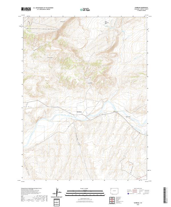
2022 Map of Sunbeam
USGS Topo · Published 2022About this map
Sunbeam sits at the heart of this landscape where the Yampa River carves through the high desert of Moffat County. The map shows a region defined by its water sources and sharp topographical shifts, with the winding river flanked by distinctive landforms like Boston Hill and the wide expanse of Boston Flat. Agricultural efforts in this arid environment are evidenced by the Maybell Ditch, while the surrounding terrain is marked by named landmarks such as Indian Rock and Peck Mesa.
Find a feature on this map
31 named features on this map. Tap any name to fly to it.
Don’t see what you’re looking for? This feature index may not catch every label — zoom into the map to look around manually.
Map Details
Editions of this 2022 Sunbeam Map
This is the sole edition of this map. No revisions or reprints were ever made.
Other maps of this area

1907 · White River
USGS Topo · 1:125,000

1910 · White River
USGS Topo · 1:125,000

1954 · Vernal
USGS Topo · 1:250,000

1958 · Vernal
USGS Topo · 1:250,000

1958 · Maybell
USGS Topo · 1:62,500

1958 · Citadel Plateau
USGS Topo · 1:62,500

1960 · Vernal
USGS Topo · 1:250,000

1960 · Elk Springs
USGS Topo · 1:62,500

1960 · Lone Mountain
USGS Topo · 1:62,500
1979 · Rangely
USGS Topo · 1:100,000