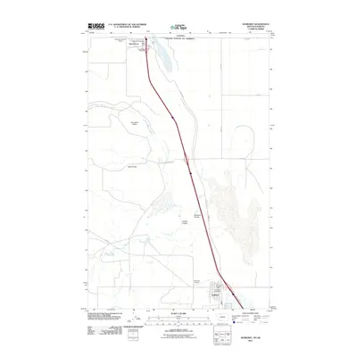
2011 Map of Sunburst
USGS Topo · Published 2011About this map
Sweet Grass stands at the northern edge of this Toole County landscape, where the international boundary between Canada and the United States Of America is marked by Border RD. This high-plains terrain is defined by dry drainage features and rocky outcrops, including the distinctive Jerusalem Rocks and a series of deep depressions such as Wolf Coulee, Buckley Coulee, and Sunburst Coulee. Aviation is central to this borderland geography, as shown by Ross International Airport in the north and Sunburst Airport to the south.
Find a feature on this map
22 named features on this map. Tap any name to fly to it.
Don’t see what you’re looking for? This feature index may not catch every label — zoom into the map to look around manually.
Map Details
Editions of this 2011 Sunburst Map
This is the sole edition of this map. No revisions or reprints were ever made.
Other maps of this area

1909 · Cut Bank
USGS Topo · 1:125,000

1912 · Cut Bank
USGS Topo · 1:125,000

1939 · Sunburst
USGS Topo · 1:62,500

1954 · Shelby
USGS Topo · 1:250,000

1958 · Shelby
USGS Topo · 1:250,000

1960 · Cut Bank
USGS Topo · 1:250,000

1963 · Cut Bank
USGS Topo · 1:250,000

1964 · Cut Bank
USGS Topo · 1:250,000
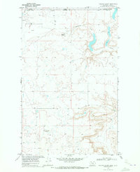
1968 · Hillside Colony
USGS Topo · 1:24,000
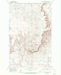
1968 · Mountain View School
USGS Topo · 1:24,000