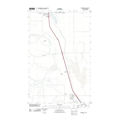
2024 Map of Sunburst
USGS Topo · Published 2024About this map
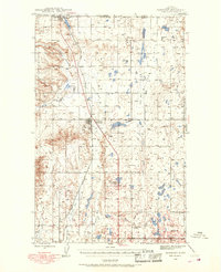
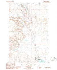
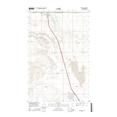
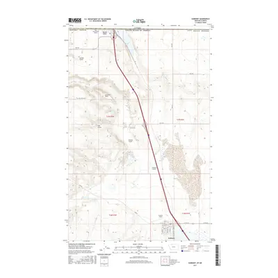
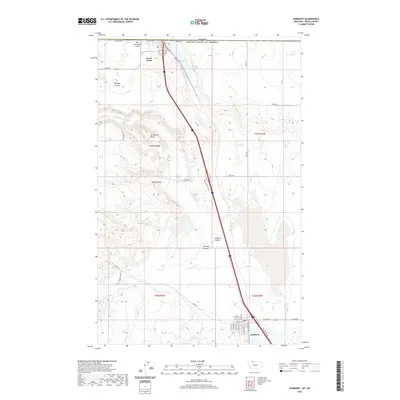
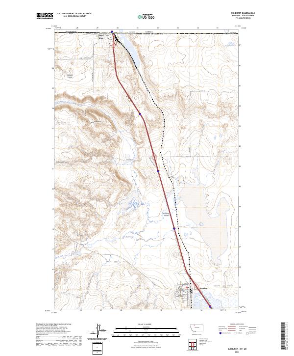
The international border between Canada and the United States defines the northern edge of this Toole County landscape, where the high plains meet the intricate drainage patterns of the northern front. The settlement of Sweet Grass sits directly on the border, serving as a critical transit point where rail lines and roads transition into Alberta. Further south, the town of Sunburst is the primary residential and commercial hub of the quadrangle, organized around a traditional grid with streets like Main St and S Railroad Ave.
Find a feature on this map
40 named features on this map. Tap any name to fly to it.
Don’t see what you’re looking for? This feature index may not catch every label — zoom into the map to look around manually.
Map Details
Editions of this 2024 Sunburst Map
This is the sole edition of this map. No revisions or reprints were ever made.
Historical Maps of Sunburst Through Time
7 maps found