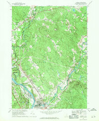
1967 Map of Suncook
USGS Topo · Published 1971About this map
The Suncook River flows toward its confluence with the Merrimack River in this detailed look at central Merrimack County during the late 1960s. The landscape is defined by its range system, with the Fourth Range and Fifth Range marking the historical land divisions across Pembroke. This era shows a community balancing rural traditions with modern infrastructure, where the Pembroke Academy and local landmarks like St Michaels Ch anchor the town centers while the Concord Municipal Airport and a growing network of roads like Beacon Hill Road signal expansion.
Find a feature on this map
61 named features on this map. Tap any name to fly to it.
Don’t see what you’re looking for? This feature index may not catch every label — zoom into the map to look around manually.
Map Details
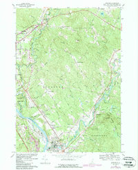
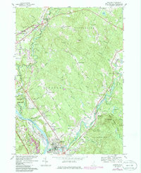
Editions of this 1967 Suncook Map
3 editions found
Other maps of this area

1919 · Gilmanton
USGS Topo · 1:62,500

1921 · Suncook
USGS Topo · 1:62,500

1927 · Concord
USGS Topo · 1:62,500

1927 · Penacook
USGS Topo · 1:62,500

1927 · Gilmanton
USGS Topo · 1:62,500

1944 · Suncook
USGS Topo · 1:62,500

1949 · Portland
USGS Topo · 1:250,000

1949 · Concord
USGS Topo · 1:62,500

1956 · Penacook
USGS Topo · 1:62,500

1956 · Portland
USGS Topo · 1:250,000