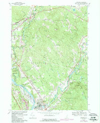
1967 Map of Suncook
USGS Topo · Published 1985About this map
The Suncook River winds through the heart of this Merrimack County landscape, joining the Merrimack River near the industrial and residential centers of Suncook and Allenstown. The settlement pattern here is deeply rooted in the 18th-century range system, evidenced by the distinctive parallel grid of Eighth Range Road, Sixth Range Road, and Fourth Range Road climbing over Pembroke Hill. These historic corridors connect the valley's manufacturing legacy with the upland farming and timber lands of Pembroke and Chichester.
Find a feature on this map
63 named features on this map. Tap any name to fly to it.
Don’t see what you’re looking for? This feature index may not catch every label — zoom into the map to look around manually.
Map Details
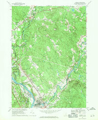
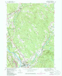
Editions of this 1967 Suncook Map
3 editions found
Other maps of this area

1919 · Gilmanton
USGS Topo · 1:62,500

1921 · Suncook
USGS Topo · 1:62,500

1927 · Concord
USGS Topo · 1:62,500

1927 · Penacook
USGS Topo · 1:62,500

1927 · Gilmanton
USGS Topo · 1:62,500

1944 · Suncook
USGS Topo · 1:62,500

1949 · Portland
USGS Topo · 1:250,000

1949 · Concord
USGS Topo · 1:62,500

1956 · Penacook
USGS Topo · 1:62,500

1956 · Portland
USGS Topo · 1:250,000