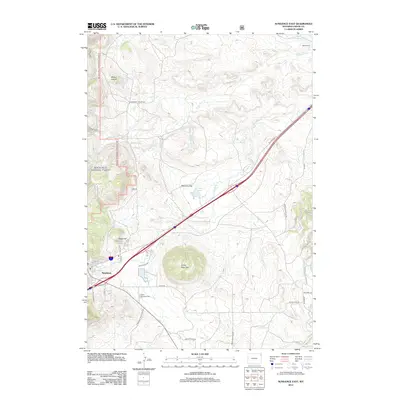
2012 Map of Sundance East
USGS Topo · Published 2012About this map
Green Mountain Cem sits at the heart of this Wyoming landscape, marking the transition between the agricultural flats and the rising terrain of the Black Hills foothills. The 2012 topography shows a land defined by its drainages, where Sundance Cr and Rocky Ford Cr carve paths through the ranching country of Medicine Flat. Settlement patterns remain sparse, anchored by family operations like Seely Ranch and the historical corridor of Old Highway 14. To the west, the elevation climbs toward prominent landmarks such as Sugarloaf and Mount Lewisa, while the northern edge is dominated by the ridge of Sheep Nose. This record captures the modern infrastructure of Crook County, from the arterial Sundance-Inyan Kara Rd to the quiet waters of Medicine Lake, reflecting a region where contemporary travel routes follow the natural contours of the high plains.
Find a feature on this map
36 named features on this map. Tap any name to fly to it.
Don’t see what you’re looking for? This feature index may not catch every label — zoom into the map to look around manually.
Map Details
Editions of this 2012 Sundance East Map
This is the sole edition of this map. No revisions or reprints were ever made.
Other maps of this area

1898 · Sundance
USGS Topo · 1:125,000

1901 · Aladdin
USGS Topo · 1:125,000

1902 · Sundance
USGS Topo · 1:125,000

1903 · Aladdin
USGS Topo · 1:125,000

1954 · Gillette
USGS Topo · 1:250,000

1955 · Gillette
USGS Topo · 1:250,000

1958 · Gillette
USGS Topo · 1:250,000

1958 · Beulah
USGS Topo · 1:62,500

1958 · Tinton
USGS Topo · 1:62,500

1958 · Sundance
USGS Topo · 1:62,500