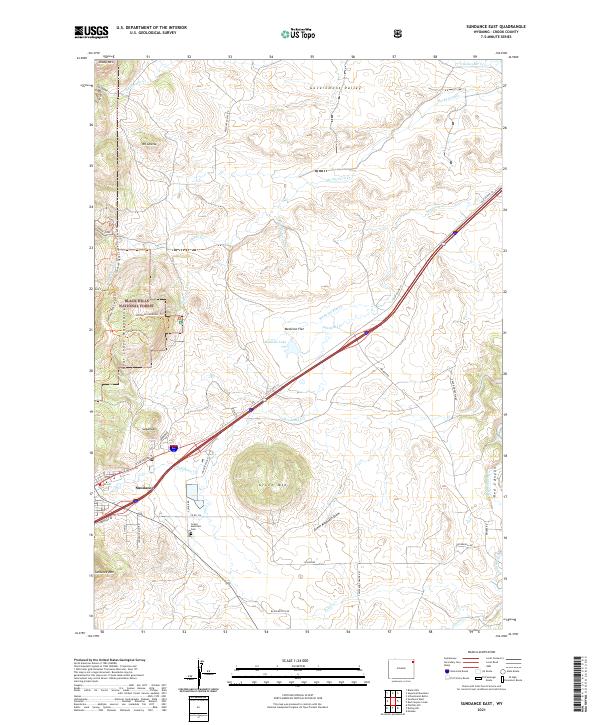
2021 Map of Sundance East
USGS Topo · Published 2021About this map
Sundance occupies the western edge of this landscape, situated where the high plains meet the eastern foothills of the Bear Lodge Mountains. The area is characterized by prominent peaks and draws, most notably the towering Green Mtn and the family-history waypoint of Green Mountain Cem located just to its north. Much of the western half of the terrain is protected within the Black Hills National Forest, which is crisscrossed by an extensive network of recreational paths including the Sundance Whitetail Trl and the Sundance-Tent Canyon Trl. To the east, the topography transitions into the drainage basins of Medicine Flat Cr and Rocky Ford Cr, with the small Medicine Lake providing a permanent water feature amidst the rolling Medicine Flat. This map documents a modern interface between forest service land and the local road network of Crook County.
Find a feature on this map
50 named features on this map. Tap any name to fly to it.
Don’t see what you’re looking for? This feature index may not catch every label — zoom into the map to look around manually.
Map Details
Editions of this 2021 Sundance East Map
This is the sole edition of this map. No revisions or reprints were ever made.
Other maps of this area

1898 · Sundance
USGS Topo · 1:125,000

1901 · Aladdin
USGS Topo · 1:125,000

1902 · Sundance
USGS Topo · 1:125,000

1903 · Aladdin
USGS Topo · 1:125,000

1954 · Gillette
USGS Topo · 1:250,000

1955 · Gillette
USGS Topo · 1:250,000

1958 · Gillette
USGS Topo · 1:250,000

1958 · Beulah
USGS Topo · 1:62,500

1958 · Tinton
USGS Topo · 1:62,500

1958 · Sundance
USGS Topo · 1:62,500