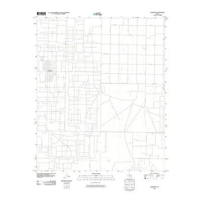
2010 Map of Sundown
USGS Topo · Published 2010About this map
Sundown anchors this West Texas landscape, which is defined by an intensive network of energy production infrastructure. The grid of roads reveals a place built upon the oil industry, with thoroughfares bearing evocative names such as Gusher Rd, Black Gold Rd, and Drill Stem. This map illustrates the intersection of industrial development and the natural Texas plains, where specialized routes like Flowline Rd and Oil Well Rd weave through blocks named Prairie and Sandhills. While the town provides a central point of settlement, the surrounding terrain is a workspace of the Permian Basin, marked by localized features like Wagon Wheel and Christmas Tree. The layout of routes such as Sagebrush Rd and Tumbleweed Rd among the survey lines provides a clear record of how the land was partitioned for both transit and extraction.
Find a feature on this map
25 named features on this map. Tap any name to fly to it.
Don’t see what you’re looking for? This feature index may not catch every label — zoom into the map to look around manually.
Map Details
Editions of this 2010 Sundown Map
This is the sole edition of this map. No revisions or reprints were ever made.
Other maps of this area

1954 · Brownfield
USGS Topo · 1:250,000

1958 · Brownfield
USGS Topo · 1:250,000

1962 · Brownfield
USGS Topo · 1:250,000

1965 · Levelland West
USGS Topo · 1:24,000

1965 · Sundown
USGS Topo · 1:24,000

1965 · Levelland East
USGS Topo · 1:24,000

1965 · Plains 1 NE
USGS Topo · 1:24,000

1965 · Lockettville
USGS Topo · 1:24,000

1965 · Whiteface
USGS Topo · 1:24,000

1969 · Plains 1 SE
USGS Topo · 1:24,000