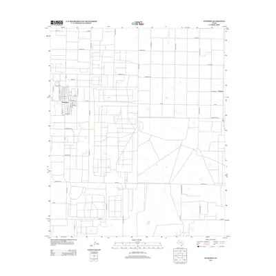
2012 Map of Sundown
USGS Topo · Published 2012About this map
The petroleum-driven landscape of Hockley County is clearly defined on this 2012 survey, where the town of Sundown serves as the central hub. The local economy is etched into the very grid of the land through an extensive network of specialized thoroughfares such as Drill Stem Rd, Black Gold Rd, and Gusher Rd. These names reflect the region's industrial heritage, as does the presence of Hard Hat Rd and Flowline Rd.
Find a feature on this map
44 named features on this map. Tap any name to fly to it.
Don’t see what you’re looking for? This feature index may not catch every label — zoom into the map to look around manually.
Map Details
Editions of this 2012 Sundown Map
This is the sole edition of this map. No revisions or reprints were ever made.
Other maps of this area

1954 · Brownfield
USGS Topo · 1:250,000

1958 · Brownfield
USGS Topo · 1:250,000

1962 · Brownfield
USGS Topo · 1:250,000

1965 · Levelland West
USGS Topo · 1:24,000

1965 · Sundown
USGS Topo · 1:24,000

1965 · Levelland East
USGS Topo · 1:24,000

1965 · Plains 1 NE
USGS Topo · 1:24,000

1965 · Lockettville
USGS Topo · 1:24,000

1965 · Whiteface
USGS Topo · 1:24,000

1969 · Plains 1 SE
USGS Topo · 1:24,000