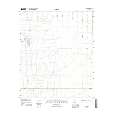
2016 Map of Sundown
USGS Topo · Published 2016About this map
The town of Sundown anchors the high plains of the Llano Estacado in this survey of the South Plains. The landscape is defined by the heavy machinery of the petroleum industry, evidenced by a road network that includes Drill Stem, Drill, and Gusher Rd. The street grid in town is dense with community landmarks such as S School Ave and S Texas Ave, while the Sundown Cem lies just to the north.
Find a feature on this map
48 named features on this map. Tap any name to fly to it.
Don’t see what you’re looking for? This feature index may not catch every label — zoom into the map to look around manually.
Map Details
Editions of this 2016 Sundown Map
This is the sole edition of this map. No revisions or reprints were ever made.
Other maps of this area

1954 · Brownfield
USGS Topo · 1:250,000

1958 · Brownfield
USGS Topo · 1:250,000

1962 · Brownfield
USGS Topo · 1:250,000

1965 · Levelland West
USGS Topo · 1:24,000

1965 · Sundown
USGS Topo · 1:24,000

1965 · Levelland East
USGS Topo · 1:24,000

1965 · Plains 1 NE
USGS Topo · 1:24,000

1965 · Lockettville
USGS Topo · 1:24,000

1965 · Whiteface
USGS Topo · 1:24,000

1969 · Plains 1 SE
USGS Topo · 1:24,000