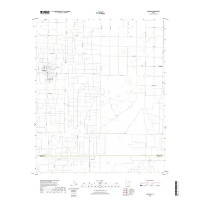
2019 Map of Sundown
USGS Topo · Published 2019About this map
The petroleum industry defines the rural grid of this West Texas landscape, where the town of Sundown serves as a hub for the surrounding oil fields. The region's energy heritage is written directly into the road names, with routes like Black Gold Rd, Gusher Rd, and Drill Stem crisscrossing the plains. These industrial corridors carve through the natural features of the Prairie and Sandhills, framing a geometric pattern of development that extends from the Hockley Co Terry Co line northward.
Find a feature on this map
45 named features on this map. Tap any name to fly to it.
Don’t see what you’re looking for? This feature index may not catch every label — zoom into the map to look around manually.
Map Details
Editions of this 2019 Sundown Map
This is the sole edition of this map. No revisions or reprints were ever made.
Other maps of this area

1954 · Brownfield
USGS Topo · 1:250,000

1958 · Brownfield
USGS Topo · 1:250,000

1962 · Brownfield
USGS Topo · 1:250,000

1965 · Levelland West
USGS Topo · 1:24,000

1965 · Sundown
USGS Topo · 1:24,000

1965 · Levelland East
USGS Topo · 1:24,000

1965 · Plains 1 NE
USGS Topo · 1:24,000

1965 · Lockettville
USGS Topo · 1:24,000

1965 · Whiteface
USGS Topo · 1:24,000

1969 · Plains 1 SE
USGS Topo · 1:24,000