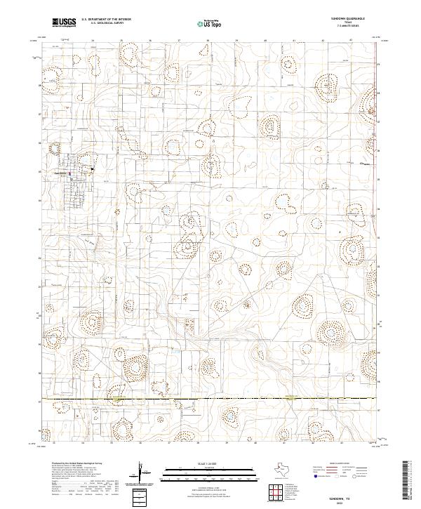
2022 Map of Sundown
USGS Topo · Published 2022About this map
The West Texas town of Sundown is the focal point of this South Plains survey, situated along the Hockley Co and Terry Co line. The local landscape is deeply intertwined with the oil industry, as evidenced by specialized road names including Gusher Rd, Drill Stem, Drill, and Black Gold Rd. These thoroughfares network across a high-plains terrain marked by depressions and the winding path of Lost Draw. Near the settlement of Clauene and the northern reaches of the Sandhills, the map traces the grid-like organization of the rural landscape through a vocabulary of the frontier and petroleum industry alike, featuring routes like Stampede, Rawhide, and Hard Hat Rd. Genealogists will find the Sundown Cem clearly marked just north of the central town streets.
Find a feature on this map
45 named features on this map. Tap any name to fly to it.
Don’t see what you’re looking for? This feature index may not catch every label — zoom into the map to look around manually.
Map Details
Editions of this 2022 Sundown Map
This is the sole edition of this map. No revisions or reprints were ever made.
Other maps of this area

1954 · Brownfield
USGS Topo · 1:250,000

1958 · Brownfield
USGS Topo · 1:250,000

1962 · Brownfield
USGS Topo · 1:250,000

1965 · Levelland West
USGS Topo · 1:24,000

1965 · Sundown
USGS Topo · 1:24,000

1965 · Levelland East
USGS Topo · 1:24,000

1965 · Plains 1 NE
USGS Topo · 1:24,000

1965 · Lockettville
USGS Topo · 1:24,000

1965 · Whiteface
USGS Topo · 1:24,000

1969 · Plains 1 SE
USGS Topo · 1:24,000