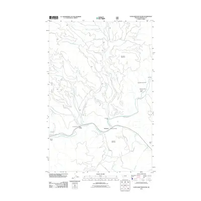
2011 Map of Sunflower Mountain
USGS Topo · Published 2011About this map
The Blackfoot River carves a deep valley through this Montana landscape, anchoring a network of remote settlements and mountain drainages. Along its banks, McNamara and Twin Creeks serve as small human outposts in a terrain dominated by Sunflower Mountain and Diamond Mountain. The river serves as the primary corridor for travel and recreation, accessed via the McNamara Bridge and the winding Johnsrud Park Rd which leads to the riverfront at Johnsrud Park.
Find a feature on this map
39 named features on this map. Tap any name to fly to it.
Don’t see what you’re looking for? This feature index may not catch every label — zoom into the map to look around manually.
Map Details
Editions of this 2011 Sunflower Mountain Map
This is the sole edition of this map. No revisions or reprints were ever made.
Other maps of this area

1903 · Bonner
USGS Topo · 1:125,000

1921 · Elbow Lake
USGS Topo · 1:125,000

1947 · Butte
USGS Topo · 1:250,000

1955 · Choteau
USGS Topo · 1:250,000

1957 · Choteau
USGS Topo · 1:250,000

1958 · Butte
USGS Topo · 1:250,000

1958 · Choteau
USGS Topo · 1:250,000

1960 · Butte
USGS Topo · 1:250,000

1962 · Choteau
USGS Topo · 1:250,000

1962 · Butte
USGS Topo · 1:250,000