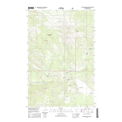
2017 Map of Sunflower Mountain
USGS Topo · Published 2017About this map
The Blackfoot River flows through this Missoula County landscape, serving as a primary corridor for early settlement and transportation. Near its banks, the community of McNamara and the McNamara Bridge mark a historical crossing point, while Twin Creeks sits at the junction of several drainage systems. The map illustrates a complex network of forest and mountain roads like Gold Creek Rd and Twin Creek Rd that navigate the high elevations of Sunflower Mountain and Diamond Mtn.
Find a feature on this map
49 named features on this map. Tap any name to fly to it.
Don’t see what you’re looking for? This feature index may not catch every label — zoom into the map to look around manually.
Map Details
Editions of this 2017 Sunflower Mountain Map
This is the sole edition of this map. No revisions or reprints were ever made.
Other maps of this area

1903 · Bonner
USGS Topo · 1:125,000

1921 · Elbow Lake
USGS Topo · 1:125,000

1947 · Butte
USGS Topo · 1:250,000

1955 · Choteau
USGS Topo · 1:250,000

1957 · Choteau
USGS Topo · 1:250,000

1958 · Butte
USGS Topo · 1:250,000

1958 · Choteau
USGS Topo · 1:250,000

1960 · Butte
USGS Topo · 1:250,000

1962 · Choteau
USGS Topo · 1:250,000

1962 · Butte
USGS Topo · 1:250,000