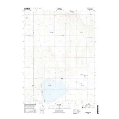
2016 Map of Sunken Lake
USGS Topo · Published 2016About this map
Jackson Reservoir and its associated water management systems dominate this Morgan County landscape, reflecting the essential role of irrigation in the high plains. The area is defined by a series of significant waterworks, including the Weldon Valley Ditch and the Riverside Intake Canal, which channel resources through the arid terrain. The natural drainage pattern is marked by several dry beds or ephemeral streams, notably Coal Bank Draw, Greasewood Draw, and the various branches of Cottonwood Draw. A quiet Foot Trail skirts the western edge of the reservoir, while the surrounding grid of county roads, such as Co RD CC and Co RD 4, organizes the agricultural sections of t5n r60w and t6n r60w. Small features like Sunken Lake provide localized points of interest within this vast, managed hydraulic environment.
Find a feature on this map
28 named features on this map. Tap any name to fly to it.
Don’t see what you’re looking for? This feature index may not catch every label — zoom into the map to look around manually.
Map Details
Editions of this 2016 Sunken Lake Map
This is the sole edition of this map. No revisions or reprints were ever made.
Other maps of this area

1950 · Greasewood Lake
USGS Topo · 1:24,000

1950 · Masters
USGS Topo · 1:24,000

1951 · Masters
USGS Topo · 1:24,000

1951 · Weldona
USGS Topo · 1:24,000

1951 · Orchard
USGS Topo · 1:24,000

1951 · Sunken Lake
USGS Topo · 1:24,000

1951 · Judson Hills
USGS Topo · 1:24,000

1954 · Sterling
USGS Topo · 1:250,000

1954 · Greeley
USGS Topo · 1:250,000

1957 · Greeley
USGS Topo · 1:250,000