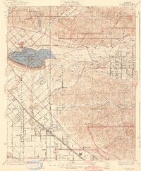
1942 Map of Sunland
USGS Topo · Published 1942About this map
Hansen Flood Control Basin dominates the center of this landscape, positioned where the Tujunga Wash exits the high canyons of the San Gabriel Mountains. This mid-century view captures the northeastern corner of the San Fernando Valley during a period of rapid wartime development and aviation expansion. Early flight history is well-represented by both Adams Airport and the neighboring Lockheed Air Terminal, which served as critical hubs for the region's burgeoning aerospace industry.
Find a feature on this map
59 named features on this map. Tap any name to fly to it.
Don’t see what you’re looking for? This feature index may not catch every label — zoom into the map to look around manually.
Map Details
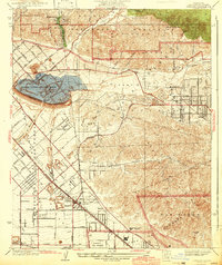
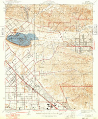
Editions of this 1942 Sunland Map
3 editions found
Other maps of this area

1894 · Los Angeles
USGS Topo · 1:62,500

1896 · Santa Monica
USGS Topo · 1:62,500

1898 · Santa Monica
USGS Topo · 1:62,500

1900 · Los Angeles
USGS Topo · 1:62,500

1900 · Fernando
USGS Topo · 1:62,500

1901 · Southern California Sheet No. 1
USGS Topo · 1:250,000

1902 · Santa Monica
USGS Topo · 1:62,500

1904 · Southern California Sheet No. 1
USGS Topo · 1:250,000

1920 · Santa Monica
USGS Topo · 1:62,500
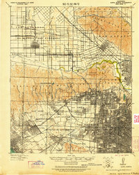
1921 · Santa Monica
USGS Topo · 1:62,500