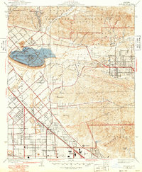
1942 Map of Sunland
USGS Topo · Published 1949About this map
Sunland sits at the base of the San Gabriel Mountains in this postwar revision of a pre-war survey, capturing a suburbanizing Los Angeles landscape before major freeway construction. The Hansen Flood Control Basin dominates the west, its massive Spillway 1060 holding back the drainage from Tujunga Wash and several canyons like Lopez Canyon and Kagel Canyon. The urban grid of the Tujunga Valley is shown in detail, with early arterial roads like Foothill Blvd and Glenoaks Blvd providing the primary structure for growth.
Find a feature on this map
71 named features on this map. Tap any name to fly to it.
Don’t see what you’re looking for? This feature index may not catch every label — zoom into the map to look around manually.
Map Details
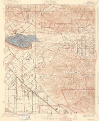
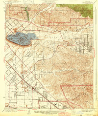
Editions of this 1942 Sunland Map
3 editions found
Other maps of this area

1894 · Los Angeles
USGS Topo · 1:62,500

1896 · Santa Monica
USGS Topo · 1:62,500

1898 · Santa Monica
USGS Topo · 1:62,500

1900 · Los Angeles
USGS Topo · 1:62,500

1900 · Fernando
USGS Topo · 1:62,500

1901 · Southern California Sheet No. 1
USGS Topo · 1:250,000

1902 · Santa Monica
USGS Topo · 1:62,500

1904 · Southern California Sheet No. 1
USGS Topo · 1:250,000

1920 · Santa Monica
USGS Topo · 1:62,500
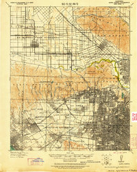
1921 · Santa Monica
USGS Topo · 1:62,500