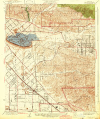
1942 Map of Sunland
USGS Topo · Published 1942About this map
The Hansen Flood Control Basin dominates the geography of this 1942 survey, reflecting mid-century infrastructure designed to manage the unpredictable Tujunga Wash. This era shows a transition from rural agricultural uses to early aviation and suburban expansion, anchored by the Southern Pacific rail line. Local aviation history is remarkably dense here, with both Adams Airport and the sprawling Lockheed Air Terminal positioned near the southern boundary. Settlement patterns are concentrated around Sunland in the Tujunga Valley and the neighborhood of Roscoe further south.
Find a feature on this map
77 named features on this map. Tap any name to fly to it.
Don’t see what you’re looking for? This feature index may not catch every label — zoom into the map to look around manually.
Map Details
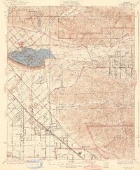
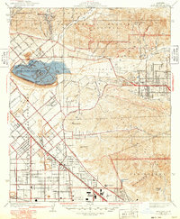
Editions of this 1942 Sunland Map
3 editions found
Other maps of this area

1894 · Los Angeles
USGS Topo · 1:62,500

1896 · Santa Monica
USGS Topo · 1:62,500

1898 · Santa Monica
USGS Topo · 1:62,500

1900 · Los Angeles
USGS Topo · 1:62,500

1900 · Fernando
USGS Topo · 1:62,500

1901 · Southern California Sheet No. 1
USGS Topo · 1:250,000

1902 · Santa Monica
USGS Topo · 1:62,500

1904 · Southern California Sheet No. 1
USGS Topo · 1:250,000

1920 · Santa Monica
USGS Topo · 1:62,500
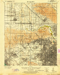
1921 · Santa Monica
USGS Topo · 1:62,500