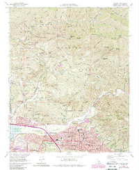
1966 Map of Sunland
USGS Topo · Published 1988About this map
Sunland and Tujunga sit at the base of the Angeles National Forest, where the dense grid of suburban Los Angeles meets the steep slopes of Mendenhall Ridge and Yerba Buena Ridge. This 1960s survey, updated in the late 1980s, documents the suburban expansion along Foothill Blvd and Wentworth St while preserving the location of older institutional and agricultural landmarks. The presence of the Lakeview Terrace Sanitarium and several schools, including Verdugo Hills High Sch and Our Lady of Lourdes Sch, marks the civic development of the valley.
Find a feature on this map
110 named features on this map. Tap any name to fly to it.
Don’t see what you’re looking for? This feature index may not catch every label — zoom into the map to look around manually.
Map Details
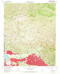
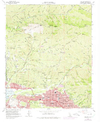
Editions of this 1966 Sunland Map
3 editions found
Other maps of this area

1894 · Los Angeles
USGS Topo · 1:62,500

1896 · Pasadena
USGS Topo · 1:62,500

1896 · Santa Monica
USGS Topo · 1:62,500

1898 · Santa Monica
USGS Topo · 1:62,500

1900 · Pasadena
USGS Topo · 1:62,500

1900 · Tujunga
USGS Topo · 1:62,500

1900 · Los Angeles
USGS Topo · 1:62,500

1900 · Fernando
USGS Topo · 1:62,500

1901 · Southern California Sheet No. 1
USGS Topo · 1:250,000

1902 · Santa Monica
USGS Topo · 1:62,500