
1949 Map of Sunlight
USGS Topo · Published 1973About this map
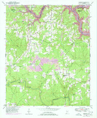
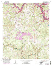
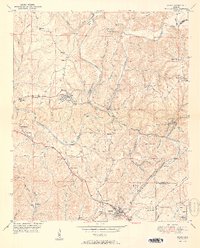
William B Bankhead National Forest defines the northern reaches of this rural Alabama landscape, where the deeply incised valleys of the Sipsey Fork and Blackwater Creek dictate the pattern of human settlement. In the late 1940s, the area shows a transition from traditional subsistence landmarks to industrial extraction, evidenced by several Strip Mines operating near Sunlight. This period was a high point for local rural institutions; the map is densely populated with small country sanctuaries such as Blooming Grove Ch, Mt Vernon Ch, and Philadelphia Ch. Genealogists will find particular value in the documentation of the Blooming Grove Cem and Tidwell Cem, as well as the naming of rural junctions like Burrows Crossroads. The presence of a Lookout Tower near the Winston and Walker county line highlights the ongoing management of the expansive timberlands during this era.
Find a feature on this map
31 named features on this map. Tap any name to fly to it.
Don’t see what you’re looking for? This feature index may not catch every label — zoom into the map to look around manually.
Map Details
Editions of this 1949 Sunlight Map
3 editions found
Other maps of this area

1893 · Jasper
USGS Topo · 1:125,000

1949 · Cordova
USGS Topo · 1:24,000

1949 · Sipsey
USGS Topo · 1:24,000

1949 · Cold Springs
USGS Topo · 1:24,000

1949 · Jasper
USGS Topo · 1:24,000

1949 · Manchester
USGS Topo · 1:24,000

1950 · Manchester
USGS Topo · 1:24,000

1951 · Jasper
USGS Topo · 1:24,000

1951 · Cold Springs
USGS Topo · 1:24,000
1951 · Sipsey
USGS Topo · 1:24,000