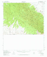
1958 Map of Sunnyside
USGS Topo · Published 1965About this map
The Fort Huachuca Military Reservation and the surrounding peaks of the Huachuca Mountains dominate this mid-century topographic record of the Arizona borderlands. The landscape is defined by its mining history, with operations like the Hamburg Mine, Copper Glance Mine, and Reef Mine scattered through high-elevation canyons. Small family-named camps and homesteads, including Peterson Ranch, Parker Ranch, and Tom Wills Camp, mark the rugged drainages where water was a critical resource.
Find a feature on this map
115 named features on this map. Tap any name to fly to it.
Don’t see what you’re looking for? This feature index may not catch every label — zoom into the map to look around manually.
Map Details
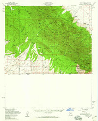
Editions of this 1958 Sunnyside Map
2 editions found
Other maps of this area

1904 · Patagonia
USGS Topo · 1:125,000

1905 · Patagonia
USGS Topo · 1:125,000

1905 · Nogales
USGS Topo · 1:125,000

1914 · Hereford
USGS Topo · 1:125,000

1915 · Benson
USGS Topo · 1:125,000

1922 · Sunnyside
USGS Topo · 1:62,500

1932 · Stark
USGS Topo · 1:62,500

1932 · Fairbank
USGS Topo · 1:62,500

1932 · Lochiel
USGS Topo · 1:62,500

1932 · Elgin
USGS Topo · 1:62,500
Featured Places
- Sierra Vista, AZ
- Bledsoe, Sierra Vista
- Ramsey, Sierra Vista
- Sierra Vista Estates, Sierra Vista
- Cochise County, AZ