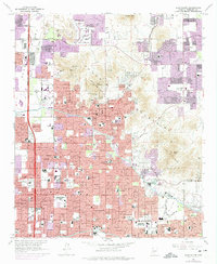
1965 Map of Sunnyslope
USGS Topo · Published 1975About this map
Phoenix expands rapidly northward in this mid-century survey, revealing a landscape where established citrus groves and desert peaks meet the accelerating post-war suburban boom. The community of Sunnyslope serves as a central hub, flanked by the prominent heights of Shaw Butte and North Mountain Park. Significant commercial and social infrastructure is evident through the presence of the Chris-Town Mall and the Chris-Town Golf Course, signaling the shift toward modern retail and leisure developments.
Find a feature on this map
56 named features on this map. Tap any name to fly to it.
Don’t see what you’re looking for? This feature index may not catch every label — zoom into the map to look around manually.
Map Details
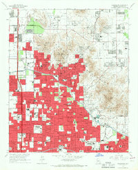
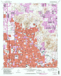
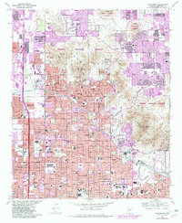
Editions of this 1965 Sunnyslope Map
4 editions found
Other maps of this area

1904 · Camelback
USGS Topo · 1:62,500

1906 · Camelsback
USGS Topo · 1:62,500

1912 · Phoenix
USGS Topo · 1:62,500

1913 · Mesa
USGS Topo · 1:62,500

1914 · Phoenix
USGS Topo · 1:62,500

1915 · Mesa
USGS Topo · 1:62,500

1930 · Cave Creek
USGS Topo · 1:125,000

1939 · Cave Creek
USGS Topo · 1:125,000

1952 · Tempe
USGS Topo · 1:24,000

1952 · Phoenix
USGS Topo · 1:24,000