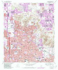
1965 Map of Sunnyslope
USGS Topo · Published 1983About this map
The Phoenix Mountains Preserve forms a dramatic topographical backdrop to the rapid northward expansion of Phoenix during the mid-1960s. This survey, updated with purple-tinted urban extensions from the late 1970s, captures the transformation of desert terrain into a structured grid of residential streets and essential community institutions. The community of Sunnyslope is a focal point, surrounded by a high concentration of educational and medical facilities including Sunnyslope High Sch, Desert View Hosp, and Lincoln Hosp.
Find a feature on this map
47 named features on this map. Tap any name to fly to it.
Don’t see what you’re looking for? This feature index may not catch every label — zoom into the map to look around manually.
Map Details
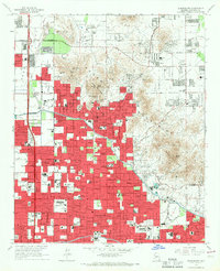
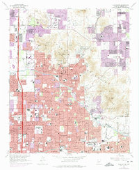
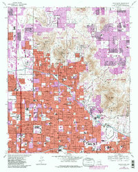
Editions of this 1965 Sunnyslope Map
4 editions found
Other maps of this area

1904 · Camelback
USGS Topo · 1:62,500

1906 · Camelsback
USGS Topo · 1:62,500

1912 · Phoenix
USGS Topo · 1:62,500

1913 · Mesa
USGS Topo · 1:62,500

1914 · Phoenix
USGS Topo · 1:62,500

1915 · Mesa
USGS Topo · 1:62,500

1930 · Cave Creek
USGS Topo · 1:125,000

1939 · Cave Creek
USGS Topo · 1:125,000

1952 · Tempe
USGS Topo · 1:24,000

1952 · Phoenix
USGS Topo · 1:24,000