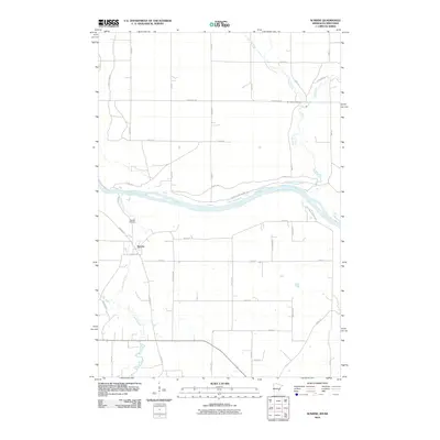
2010 Map of Sunrise
USGS Topo · Published 2010About this map
The Saint Croix River forms the central artery of this borderland, where the water marks the boundary between Minnesota and Wisconsin. Along its western banks, Wild River State Park preserves the riverfront character, intersected by the Sunrise Ferry Hiking Trl which recalls the era of river crossings before modern bridges. The small settlement of Sunrise is situated south of the confluence where the Sunrise River winds northward to join the Saint Croix.
Find a feature on this map
43 named features on this map. Tap any name to fly to it.
Don’t see what you’re looking for? This feature index may not catch every label — zoom into the map to look around manually.
Map Details
Editions of this 2010 Sunrise Map
This is the sole edition of this map. No revisions or reprints were ever made.
Other maps of this area

1900 · St Croix Dalles
USGS Topo · 1:62,500

1901 · St Croix Dalles
USGS Topo · 1:62,500

1950 · Rush City
USGS Topo · 1:48,000

1951 · Milltown
USGS Topo · 1:48,000

1953 · Stillwater
USGS Topo · 1:250,000

1955 · St. Croix Dalles
USGS Topo · 1:62,500

1955 · Rush City
USGS Topo · 1:62,500

1955 · Milltown
USGS Topo · 1:62,500

1955 · Forest Lake
USGS Topo · 1:62,500

1955 · Stillwater
USGS Topo · 1:250,000