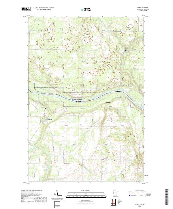
2022 Map of Sunrise
USGS Topo · Published 2022About this map
The Sunrise settlement serves as the focal point of this survey, positioned near the confluence where the Sunrise River meets the larger Saint Croix National Scenic Riverway. This portion of the border between Minnesota and Wisconsin is defined by the winding course of the Saint Croix River, a landscape shaped by glacial deposits and river valleys. The town of Sunrise itself is rooted in mid-19th-century pioneer history, as evidenced by the nearby Old Settlers Cem and Sunrise Cem. The rural road network, including names like Poor Farm Rd and Ferry Dr, points to the community's agricultural foundations and historical river crossings. In the southern reach, the N Br Sunrise River meanders through low-lying areas, while to the north, the Sunrise Ferry Hiking Trl follows the high ground overlooking the river corridor.
Find a feature on this map
58 named features on this map. Tap any name to fly to it.
Don’t see what you’re looking for? This feature index may not catch every label — zoom into the map to look around manually.
Map Details
Editions of this 2022 Sunrise Map
This is the sole edition of this map. No revisions or reprints were ever made.
Other maps of this area

1900 · St Croix Dalles
USGS Topo · 1:62,500

1901 · St Croix Dalles
USGS Topo · 1:62,500

1950 · Rush City
USGS Topo · 1:48,000

1951 · Milltown
USGS Topo · 1:48,000

1953 · Stillwater
USGS Topo · 1:250,000

1955 · St. Croix Dalles
USGS Topo · 1:62,500

1955 · Rush City
USGS Topo · 1:62,500

1955 · Milltown
USGS Topo · 1:62,500

1955 · Forest Lake
USGS Topo · 1:62,500

1955 · Stillwater
USGS Topo · 1:250,000