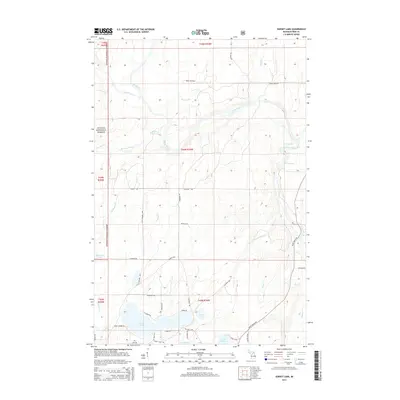
2014 Map of Sunset Lake
USGS Topo · Published 2014About this map
The Ottawa National Forest dominates the western reaches of this landscape in Iron County, where the north and south meet in a complex of glacial lakes and river systems. The Paint River flows eastward through the center of the sheet, joined by the Net River and marked by the turbulent waters of Hemlock Rapids and Lower Hemlock Rapids. This 2014 survey reveals a transition from the dense federal forest lands to a more settled rural patchwork defined by local landmarks like Sunset Lake and its surrounding community.
Find a feature on this map
53 named features on this map. Tap any name to fly to it.
Don’t see what you’re looking for? This feature index may not catch every label — zoom into the map to look around manually.
Map Details
Editions of this 2014 Sunset Lake Map
This is the sole edition of this map. No revisions or reprints were ever made.
Other maps of this area

1895 · Ned Lake
USGS Topo · 1:62,500

1895 · Perch Lake
USGS Topo · 1:62,500

1898 · Iron River
USGS Topo · 1:62,500

1899 · Crystal Falls
USGS Topo · 1:62,500

1944 · Iron River
USGS Topo · 1:24,000

1944 · Gaastra
USGS Topo · 1:24,000

1944 · Fortune Lakes
USGS Topo · 1:24,000

1945 · Gibbs City
USGS Topo · 1:24,000

1945 · Sunset Lake
USGS Topo · 1:24,000

1945 · Amasa
USGS Topo · 1:24,000