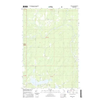
2017 Map of Sunset Lake
USGS Topo · Published 2017About this map
The Paint River and its tributaries define the glacial landscape of this portion of the Ottawa National Forest in Michigan's Upper Peninsula. Centered on the township sections of Iron County, the terrain is characterized by a dense network of water bodies, including Sunset Lake, Morrison Lake, and the connected flow of Lake Nine and Lake Fifteen. The river system features significant hydraulic landmarks like Hemlock Rapids and Lower Hemlock Rapids, which shaped the early logging and transit history of the region.
Find a feature on this map
50 named features on this map. Tap any name to fly to it.
Don’t see what you’re looking for? This feature index may not catch every label — zoom into the map to look around manually.
Map Details
Editions of this 2017 Sunset Lake Map
This is the sole edition of this map. No revisions or reprints were ever made.
Other maps of this area

1895 · Ned Lake
USGS Topo · 1:62,500

1895 · Perch Lake
USGS Topo · 1:62,500

1898 · Iron River
USGS Topo · 1:62,500

1899 · Crystal Falls
USGS Topo · 1:62,500

1944 · Iron River
USGS Topo · 1:24,000

1944 · Gaastra
USGS Topo · 1:24,000

1944 · Fortune Lakes
USGS Topo · 1:24,000

1945 · Gibbs City
USGS Topo · 1:24,000

1945 · Sunset Lake
USGS Topo · 1:24,000

1945 · Amasa
USGS Topo · 1:24,000