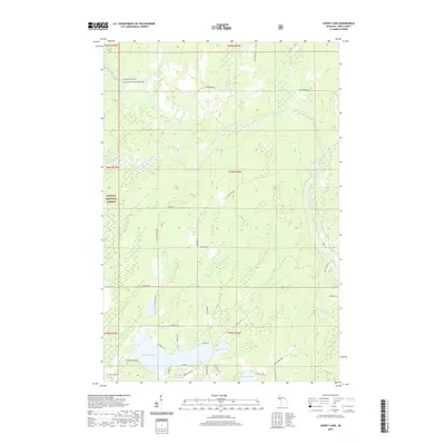
2019 Map of Sunset Lake
USGS Topo · Published 2019About this map
Paint Wild and Scenic River defines the northern reaches of this Iron County landscape, winding through a dense network of timberlands and waterways. The Ottawa National Forest covers much of the terrain, where established family-named roads like Parks Farm Rd and Pollack Rd intersect the woods. To the south, a cluster of glacial lakes serves as the primary focal point for local geography, including the prominent Sunset Lake and the numerically named Lake Nine and Lake Fifteen. The river system is punctuated by white water features such as Hemlock Rapids and Lower Hemlock Rapids, illustrating the persistent wild character of the Upper Peninsula. Numerous tributaries, including Barnetts Cr and Morrison Creek, feed the larger basin, while the presence of Sunset Shores Rd and W Sunset Lake Rd indicates residential development along the southern lakefronts.
Find a feature on this map
35 named features on this map. Tap any name to fly to it.
Don’t see what you’re looking for? This feature index may not catch every label — zoom into the map to look around manually.
Map Details
Editions of this 2019 Sunset Lake Map
This is the sole edition of this map. No revisions or reprints were ever made.
Other maps of this area

1895 · Ned Lake
USGS Topo · 1:62,500

1895 · Perch Lake
USGS Topo · 1:62,500

1898 · Iron River
USGS Topo · 1:62,500

1899 · Crystal Falls
USGS Topo · 1:62,500

1944 · Iron River
USGS Topo · 1:24,000

1944 · Gaastra
USGS Topo · 1:24,000

1944 · Fortune Lakes
USGS Topo · 1:24,000

1945 · Gibbs City
USGS Topo · 1:24,000

1945 · Sunset Lake
USGS Topo · 1:24,000

1945 · Amasa
USGS Topo · 1:24,000