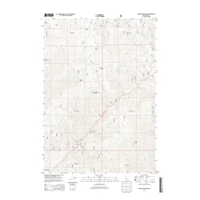
2013 Map of Sunset Mountain
USGS Topo · Published 2013About this map
Boise National Forest defines this high-elevation Idaho landscape, where steep drainages feed the headwaters of numerous creeks including Grimes Creek, Mores Creek, and Tenmile Creek. The area is characterized by prominent peaks and mountain passes, notably Pilot Peak, Wilson Peak, and Mores Creek Summit. While largely uninhabited, the presence of Summit Flat and Coulter Corral suggests a history of livestock management and movement through these ridgelines.
Find a feature on this map
41 named features on this map. Tap any name to fly to it.
Don’t see what you’re looking for? This feature index may not catch every label — zoom into the map to look around manually.
Map Details
Editions of this 2013 Sunset Mountain Map
This is the sole edition of this map. No revisions or reprints were ever made.
Other maps of this area

1894 · Idaho Basin
USGS Topo · 1:125,000

1909 · Garden Valley
USGS Topo · 1:125,000

1955 · Hailey
USGS Topo · 1:250,000

1957 · Pioneerville
USGS Topo · 1:24,000

1957 · Idaho City
USGS Topo · 1:24,000

1957 · Challis
USGS Topo · 1:250,000

1959 · Hailey
USGS Topo · 1:250,000

1959 · Garden Valley
USGS Topo · 1:62,500

1960 · Challis
USGS Topo · 1:250,000

1962 · Hailey
USGS Topo · 1:250,000