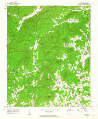
1961 Map of Sunset
USGS Topo · Published 1963About this map
Eastatoe and Holly Springs anchor a landscape defined by sharp ridges and deep mountain hollows in the early 1960s. The terrain is marked by family-named landmarks and high peaks such as Wadakoe Mountain, Horse Gap Mountain, and Wadakoe Mountain. The map shows a scattered rural settlement pattern typical of the Blue Ridge foothills, where life centered around local gathering points like the Holly Springs Sch, Antioch Ch, and Mt Bethel Ch.
Find a feature on this map
72 named features on this map. Tap any name to fly to it.
Don’t see what you’re looking for? This feature index may not catch every label — zoom into the map to look around manually.
Map Details
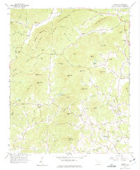
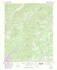
Editions of this 1961 Sunset Map
3 editions found
Other maps of this area

1888 · Pickens
USGS Topo · 1:125,000

1894 · Pickens
USGS Topo · 1:125,000

1905 · Pisgah
USGS Topo · 1:125,000

1906 · Pisgah
USGS Topo · 1:125,000

1935 · Eastatoe Gap
USGS Topo · 1:24,000

1935 · Reid
USGS Topo · 1:24,000

1935 · Table Rock
USGS Topo · 1:24,000
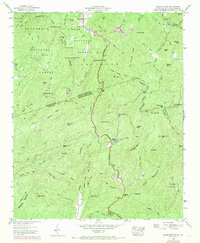
1946 · Eastatoe Gap
USGS Topo · 1:24,000
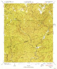
1946 · Reid
USGS Topo · 1:24,000
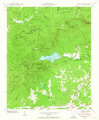
1946 · Table Rock
USGS Topo · 1:24,000