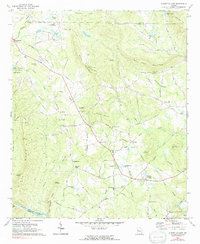
1971 Map of Sunset Village
USGS Topo · Published 1991About this map
The Flint River forms the southern boundary of this Georgia landscape, which is marked by the ridges of Pine Mountain and the smaller peaks of Salter Mountain and Bull Mountain. At the time of this 1971 field check, the area maintained a distinctively rural character, defined by small family settlements like McCrary Settlement and Jones Settlement in the north, and Ellerbeetown further south. The presence of Mc Crary Minnow Farm near Woodall Branch suggests a localized agricultural economy during this era, while the Crest Lookout Tower atop Salter Mountain highlights the importance of forestry oversight.
Find a feature on this map
68 named features on this map. Tap any name to fly to it.
Don’t see what you’re looking for? This feature index may not catch every label — zoom into the map to look around manually.
Map Details
Editions of this 1971 Sunset Village Map
2 editions found
Other maps of this area

1907 · Talbotton
USGS Topo · 1:125,000

1934 · Warm Springs
USGS Topo · 1:62,500

1935 · Thomaston
USGS Topo · 1:48,000

1936 · Warm Springs
USGS Topo · 1:62,500

1939 · Thomaston
USGS Topo · 1:62,500

1953 · Atlanta
USGS Topo · 1:250,000

1955 · Phenix City
USGS Topo · 1:250,000

1957 · Phenix City
USGS Topo · 1:250,000

1957 · Atlanta
USGS Topo · 1:250,000

1958 · Phenix City
USGS Topo · 1:250,000