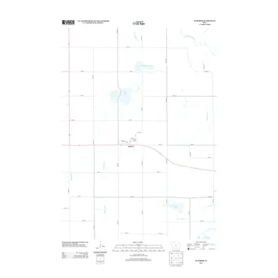
2013 Map of Superior
USGS Topo · Published 2013About this map
The town of Superior serves as the central hub of this Dickinson County landscape, situated where the grid of rural roads meets the curves of State Highway 9. The settlement’s residential core is defined by a tight network of streets including Burlington Ave and 5th Ave. Beyond the town limits, the geography is characterized by a series of significant water bodies and managed waterways, including Swan Lake and the Christopherson Slough to the north.
Find a feature on this map
37 named features on this map. Tap any name to fly to it.
Don’t see what you’re looking for? This feature index may not catch every label — zoom into the map to look around manually.
Map Details
Editions of this 2013 Superior Map
This is the sole edition of this map. No revisions or reprints were ever made.
Other maps of this area

1954 · Fairmont
USGS Topo · 1:250,000

1958 · Fairmont
USGS Topo · 1:250,000

1970 · Jackson
USGS Topo · 1:24,000

1970 · Lakefield SE
USGS Topo · 1:24,000

1970 · Spirit Lake SE
USGS Topo · 1:24,000

1970 · Dunnell
USGS Topo · 1:24,000

1970 · Spirit Lake
USGS Topo · 1:24,000

1972 · Terril
USGS Topo · 1:24,000

1972 · Wallingford
USGS Topo · 1:24,000

1972 · Estherville
USGS Topo · 1:24,000