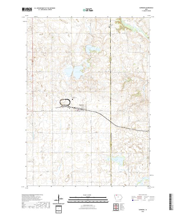
2022 Map of Superior
USGS Topo · Published 2022About this map
Superior sits at the heart of this agricultural landscape in eastern Dickinson County, where the transition from natural prairie wetlands to a managed hydrologic network is clearly visible. The drainage of the region is defined by a system of man-made and natural waterways, including Ditch Number 25 and Ditch Number 29, which work alongside Big Muddy Cr and School Cr to move water across the glacial plains. Significant water bodies such as Swan Lake, Fourmile Lake, and Christopherson Slough provide a contrast to the geometric grid of county roads. Genealogical researchers will find two key burial sites: the Superior Township Cem just west of town, and the Union State Line Cem at the northern edge of the survey, while the Des Moines River cuts across the northeastern corner near the state border.
Find a feature on this map
43 named features on this map. Tap any name to fly to it.
Don’t see what you’re looking for? This feature index may not catch every label — zoom into the map to look around manually.
Map Details
Editions of this 2022 Superior Map
This is the sole edition of this map. No revisions or reprints were ever made.
Other maps of this area

1954 · Fairmont
USGS Topo · 1:250,000

1958 · Fairmont
USGS Topo · 1:250,000

1970 · Jackson
USGS Topo · 1:24,000

1970 · Lakefield SE
USGS Topo · 1:24,000

1970 · Spirit Lake SE
USGS Topo · 1:24,000

1970 · Dunnell
USGS Topo · 1:24,000

1970 · Spirit Lake
USGS Topo · 1:24,000

1972 · Terril
USGS Topo · 1:24,000

1972 · Wallingford
USGS Topo · 1:24,000

1972 · Estherville
USGS Topo · 1:24,000