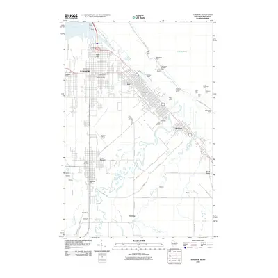
2010 Map of Superior
USGS Topo · Published 2010About this map
The port city of Superior sits at the western terminus of Lake Superior, where the Saint Louis River and Nemadji River meet the Great Lakes. This 2010 survey illustrates the complex geography of the harbor, from the industrial stretches of Connors Point to the slender barrier of Minnesota Point. The urban landscape is defined by its diverse neighborhoods and maritime infrastructure, including the East End, Allouez, and the expansive University of Wisconsin-Superior Campus.
Find a feature on this map
72 named features on this map. Tap any name to fly to it.
Don’t see what you’re looking for? This feature index may not catch every label — zoom into the map to look around manually.
Map Details
Editions of this 2010 Superior Map
This is the sole edition of this map. No revisions or reprints were ever made.
Other maps of this area

1895 · Duluth
USGS Topo · 1:62,500

1915 · Superior
USGS Topo · 1:48,000

1917 · Superior
USGS Topo · 1:62,500

1949 · Poplar
USGS Topo · 1:48,000

1953 · Lakewood
USGS Topo · 1:24,000

1953 · Duluth
USGS Topo · 1:24,000

1953 · Duluth Heights
USGS Topo · 1:24,000

1953 · Duluth
USGS Topo · 1:62,500

1953 · Ashland
USGS Topo · 1:250,000

1953 · Duluth
USGS Topo · 1:250,000