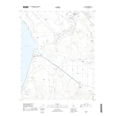
2018 Map of Surf
USGS Topo · Published 2018About this map
The Vandenberg Air Force Base dominates this coastal landscape, showing a complex network of aerospace infrastructure including Titan Rd and Airfield Rd situated on the elevated Burton Mesa. This military installation is contrasted by the natural corridor of the Santa Ynez River, which cuts through the Lompoc Valley toward its mouth at the Pacific Ocean. Near the coast, the small settlement of Surf sits at a critical junction of rails and roads, while inland nodes like Baroda and La Salle mark the agricultural and transit patterns of the region.
Find a feature on this map
103 named features on this map. Tap any name to fly to it.
Don’t see what you’re looking for? This feature index may not catch every label — zoom into the map to look around manually.
Map Details
Editions of this 2018 Surf Map
This is the sole edition of this map. No revisions or reprints were ever made.
Other maps of this area

1905 · Guadalupe
USGS Topo · 1:125,000

1905 · Lompoc
USGS Topo · 1:125,000

1942 · Point Arguello
USGS Topo · 1:62,500

1942 · Guadalupe
USGS Topo · 1:125,000

1942 · Lompoc
USGS Topo · 1:125,000

1942 · Lompoc
USGS Topo · 1:62,500

1942 · Santa Maria
USGS Topo · 1:62,500

1942 · Point Sal
USGS Topo · 1:62,500

1943 · Lompoc
USGS Topo · 1:125,000

1947 · Lompoc
USGS Topo · 1:24,000