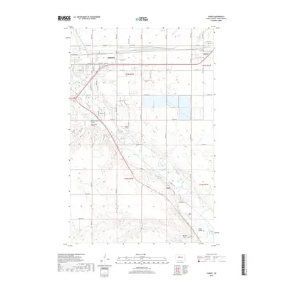
2017 Map of Surrey
USGS Topo · Published 2017About this map
The Souris River meanders through the heart of Ward County, carving a distinct valley that defines the landscape southeast of Minot. This 2017 survey documents the continued expansion of the regional hub, where the city grid meets the agricultural reaches of the drift prairie. The small communities of Surrey and Logan serve as key nodes along the river and rail corridor, reflecting the area's deep-rooted connection to transportation and trade.
Find a feature on this map
40 named features on this map. Tap any name to fly to it.
Don’t see what you’re looking for? This feature index may not catch every label — zoom into the map to look around manually.
Map Details
Editions of this 2017 Surrey Map
This is the sole edition of this map. No revisions or reprints were ever made.
Other maps of this area

1928 · Minot
USGS Topo · 1:62,500

1929 · Sawyer
USGS Topo · 1:62,500

1948 · Sawyer
USGS Topo · 1:24,000

1948 · Burlington
USGS Topo · 1:62,500

1948 · Surrey
USGS Topo · 1:24,000

1949 · Sawyer
USGS Topo · 1:24,000

1949 · Sawyer NE
USGS Topo · 1:24,000

1949 · Deering SW
USGS Topo · 1:24,000

1949 · Deering SE
USGS Topo · 1:24,000

1949 · Burlington SE
USGS Topo · 1:24,000