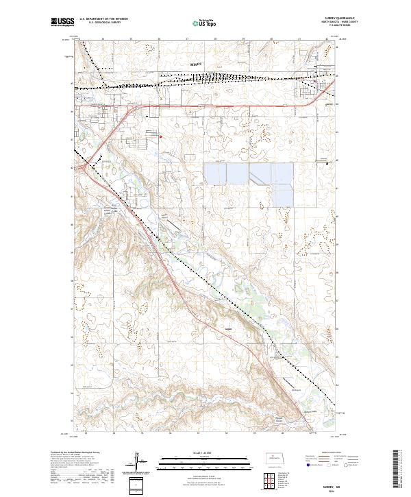
2024 Map of Surrey
USGS Topo · Published 2024About this map
The Souris River meanders through Ward County, creating a valley defined by significant glacial drainages like First Larson Coulee, Second Larson Coulee, and Mostad Coulee. This modern survey illustrates the proximity of the growing city of Minot to the smaller settlements of Surrey and Logan. The transportation corridor is anchored by the BNSF Railway and the Burdick Expy E, which parallel the river's path across the northern plains.
Find a feature on this map
77 named features on this map. Tap any name to fly to it.
Don’t see what you’re looking for? This feature index may not catch every label — zoom into the map to look around manually.
Map Details
Editions of this 2024 Surrey Map
This is the sole edition of this map. No revisions or reprints were ever made.
Other maps of this area

1928 · Minot
USGS Topo · 1:62,500

1929 · Sawyer
USGS Topo · 1:62,500

1948 · Sawyer
USGS Topo · 1:24,000

1948 · Burlington
USGS Topo · 1:62,500

1948 · Surrey
USGS Topo · 1:24,000

1949 · Sawyer
USGS Topo · 1:24,000

1949 · Sawyer NE
USGS Topo · 1:24,000

1949 · Deering SW
USGS Topo · 1:24,000

1949 · Deering SE
USGS Topo · 1:24,000

1949 · Burlington SE
USGS Topo · 1:24,000