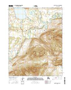
2016 Map of Survey Pass A-1 SE
USGS Topo · Published 2016About this map
Iniakuk Lake anchors the northern reaches of this Brooks Range territory, where the waters of the Iniakuk River drain into a complex network of wetland and riverine systems. The landscape is defined by the sharp transition between the broad, meandering valleys of the Malamute Fork Alatna River and the rising elevations of the Alatna Hills to the south. This area, largely untouched by modern road infrastructure, reveals the natural hydrologic patterns of Tobuk Creek and its various tributaries as they weave through the interior wilderness. The map provides a precise look at the land's relief and the intricate braiding of its glacial-fed river systems before they merge into the larger Alatna drainage, documenting a remote Alaskan environment defined by its water and high-relief terrain.
Find a feature on this map
10 named features on this map. Tap any name to fly to it.
Don’t see what you’re looking for? This feature index may not catch every label — zoom into the map to look around manually.
Map Details
Editions of this 2016 Survey Pass A-1 SE Map
This is the sole edition of this map. No revisions or reprints were ever made.
Other maps of this area

1951 · Hughes
USGS Topo · 1:250,000

1951 · Bettles
USGS Topo · 1:250,000

1951 · Survey Pass
USGS Topo · 1:250,000

1951 · Wiseman
USGS Topo · 1:250,000

1956 · Hughes
USGS Topo · 1:250,000

1956 · Bettles
USGS Topo · 1:250,000

1956 · Wiseman
USGS Topo · 1:250,000

1956 · Survey Pass
USGS Topo · 1:250,000

1964 · Survey Pass
USGS Topo · 1:250,000

1964 · Wiseman
USGS Topo · 1:250,000