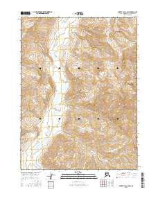
2016 Map of Survey Pass C-6 SW
USGS Topo · Published 2016About this map
Schwatka Mountains terrain dominates this northern Alaskan interior landscape, where the Igning River winds through a deep valley between towering peaks. The entire region is contained within the Gates of the Arctic National Park, reflecting a vast wilderness preserved in its natural state. The drainage patterns of the Igning River and its various unnamed tributaries illustrate the complex glacial and fluvial erosion that has shaped these high-altitude ranges. This 2016 survey captures the area's topographical character without the presence of roads, settlements, or structures, emphasizing its status as one of the most secluded regions in the U.S. Geological Survey catalog.
Find a feature on this map
9 named features on this map. Tap any name to fly to it.
Don’t see what you’re looking for? This feature index may not catch every label — zoom into the map to look around manually.
Map Details
Editions of this 2016 Survey Pass C-6 SW Map
This is the sole edition of this map. No revisions or reprints were ever made.
Other maps of this area

1951 · Survey Pass
USGS Topo · 1:250,000

1951 · Ambler River
USGS Topo · 1:250,000

1956 · Survey Pass
USGS Topo · 1:250,000

1956 · Ambler River
USGS Topo · 1:250,000

1964 · Survey Pass
USGS Topo · 1:250,000

1964 · Ambler River
USGS Topo · 1:250,000

1966 · Survey Pass
USGS Topo · 1:250,000
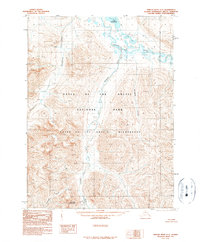
1990 · Ambler River C-1
USGS Topo · 1:63,360
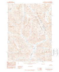
1990 · Ambler River B-1
USGS Topo · 1:63,360
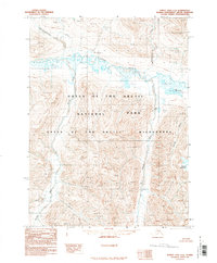
1990 · Survey Pass C-6
USGS Topo · 1:63,360