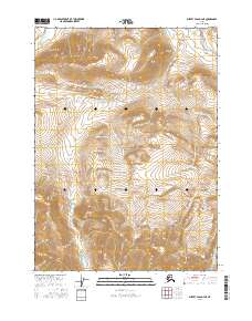
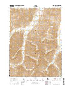
2016 Map of Survey Pass D-4 NE
USGS Topo · Published 2016About this map
Gates Of The Arctic National Park encompasses the majority of this Alaskan wilderness, where the high arctic watershed is defined by steep elevation changes and dramatic glacial valleys. The western edge of the sheet is marked by the Killik River, which flows through the northern reaches of the Brooks Range. To the northeast, the headwaters of April Creek drain through high mountain basins. The landscape is segmented by the Public Land Survey System grids of t30n r18e, t30n r19e, t29n r18e, and t29n r19e, providing a rare structural overlay on one of the most preserved environments in the United States. This 2016 survey reflects the modern topographical understanding of a region that remains largely untouched by infrastructure or settlement.
Find a feature on this map
7 named features on this map. Tap any name to fly to it.
Don’t see what you’re looking for? This feature index may not catch every label — zoom into the map to look around manually.
Map Details
Editions of this 2016 Survey Pass D-4 NE Map
This is the sole edition of this map. No revisions or reprints were ever made.
Other maps of this area

1951 · Survey Pass
USGS Topo · 1:250,000

1951 · Killik River
USGS Topo · 1:250,000

1956 · Survey Pass
USGS Topo · 1:250,000

1956 · Killik River
USGS Topo · 1:250,000

1964 · Survey Pass
USGS Topo · 1:250,000

1966 · Survey Pass
USGS Topo · 1:250,000
1986 · Killik River A-3
USGS Topo · 1:63,360
1986 · Survey Pass D-4
USGS Topo · 1:63,360
1986 · Survey Pass D-3
USGS Topo · 1:63,360
2016 · Survey Pass D-3 SW
USGS Topo · 1:25,000