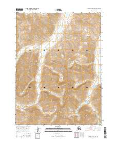
2016 Map of Survey Pass D-3 SW
USGS Topo · Published 2016About this map
Gates of the Arctic National Park protects the high-latitude wilderness shown in this 2016 survey, where the Brooks Range landscape remains largely defined by its natural drainage patterns. The interior geography is marked by several alpine watercourses, most notably Doc Cr and Indanan Cr, which carve through the steep contour intervals of the central and southern portions of the sheet. In the southeastern corner, Peegeeluk Cr drains toward the lower elevations, illustrating the complex hydrology of this roadless region. The map is organized by the Public Land Survey System, spanning several townships including t28n r20e and t27n r20e, which provide a structural framework for a landscape that contains no permanent named settlements or man-made infrastructure, emphasizing the area's role as a protected wilderness preserve.
Find a feature on this map
10 named features on this map. Tap any name to fly to it.
Don’t see what you’re looking for? This feature index may not catch every label — zoom into the map to look around manually.
Map Details
Editions of this 2016 Survey Pass D-3 SW Map
This is the sole edition of this map. No revisions or reprints were ever made.
Other maps of this area

1951 · Survey Pass
USGS Topo · 1:250,000

1956 · Survey Pass
USGS Topo · 1:250,000

1964 · Survey Pass
USGS Topo · 1:250,000

1966 · Survey Pass
USGS Topo · 1:250,000
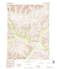
1986 · Survey Pass C-3
USGS Topo · 1:63,360
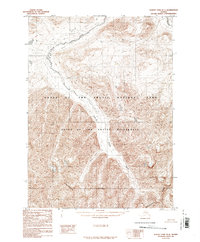
1986 · Survey Pass D-4
USGS Topo · 1:63,360
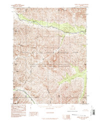
1986 · Survey Pass C-4
USGS Topo · 1:63,360
1986 · Survey Pass D-3
USGS Topo · 1:63,360
2016 · Survey Pass C-4 NE
USGS Topo · 1:25,000
2016 · Survey Pass D-3 SE
USGS Topo · 1:25,000