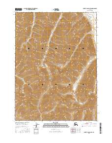
2016 Map of Survey Pass D-4 SW
USGS Topo · Published 2016About this map
Gates of the Arctic National Park encompasses the vast majority of this 2016 terrain study, showcasing a preserved Alaskan wilderness where the Continental Divide serves as a primary geographic spine. The map documents the high-altitude headwaters and ridgelines that separate drainage basins in this northern interior region. In the northeast corner, the Killik River begins its course, carved into the complex topography of the Brooks Range. The arrangement of township and range lines, such as t28n r18e and t29n r17e, provides a formal grid over a landscape otherwise defined by elevation contours and glacial valleys. This survey is a record of environmental preservation, capturing the intersection of federally protected lands and the natural boundary of the Continental Divide.
Find a feature on this map
9 named features on this map. Tap any name to fly to it.
Don’t see what you’re looking for? This feature index may not catch every label — zoom into the map to look around manually.
Map Details
Editions of this 2016 Survey Pass D-4 SW Map
This is the sole edition of this map. No revisions or reprints were ever made.
Other maps of this area

1951 · Survey Pass
USGS Topo · 1:250,000

1956 · Survey Pass
USGS Topo · 1:250,000

1964 · Survey Pass
USGS Topo · 1:250,000

1966 · Survey Pass
USGS Topo · 1:250,000
1986 · Survey Pass D-5
USGS Topo · 1:63,360
1986 · Survey Pass D-4
USGS Topo · 1:63,360
1986 · Survey Pass C-4
USGS Topo · 1:63,360
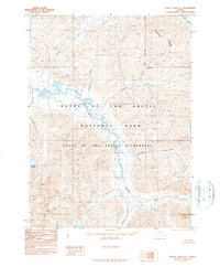
1990 · Survey Pass C-5
USGS Topo · 1:63,360
2016 · Survey Pass C-5 NE
USGS Topo · 1:25,000
2016 · Survey Pass D-5 SE
USGS Topo · 1:25,000