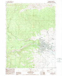
1988 Map of Susanville
USGS Topo · Published 1989About this map
Susanville sits at the foot of the Diamond Mountains, where the high desert meets the forested slopes of the eastern Sierra Nevada. In the late 1980s, the community footprint was clearly defined by its corporate boundaries, showing the density of its grid near Fowler Park and the County Fairgrounds. The map details the vital water infrastructure of Honey Valley, including the Susan River, Barry Reservoir, and numerous springs such as Bagwell Spring and Cady Spring that sustained the local population and ranching operations.
Find a feature on this map
27 named features on this map. Tap any name to fly to it.
Don’t see what you’re looking for? This feature index may not catch every label — zoom into the map to look around manually.
Map Details
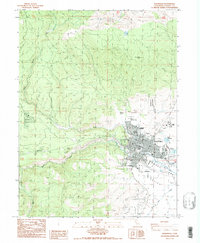
Editions of this 1988 Susanville Map
2 editions found
Other maps of this area

1886 · Honey Lake
USGS Topo · 1:250,000

1891 · Honey Lake
USGS Topo · 1:250,000

1893 · Honey Lake
USGS Topo · 1:250,000

1954 · Susanville
USGS Topo · 1:62,500

1954 · Fredonyer Peak
USGS Topo · 1:62,500

1955 · Westwood
USGS Topo · 1:62,500

1955 · Westwood
USGS Topo · 1:250,000

1956 · Antelope Mtn
USGS Topo · 1:62,500

1958 · Westwood
USGS Topo · 1:250,000

1959 · Westwood
USGS Topo · 1:250,000