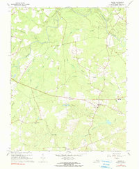
1967 Map of Sussex
USGS Topo · Published 1990About this map
Sussex serves as a focal point in this tidewater landscape, where the Nottoway River meanders through a dense network of wetlands including Goose Swamp and Rowanty Creek. The map reveals a community structured around small settlements and rural junctions like West Hope, Booker, and Howells Mill. The distribution of local institutions suggests a deeply rooted social geography, with numerous houses of worship and burial grounds such as Kestville Ch, Sharon Ch, and the Bethel Cem serving the surrounding farms. The presence of the Central High Sch and a Lookout Tower near the town center indicates the area's civic and safety infrastructure in the late 1960s. Terrain features like Mush Island and various Gravel Pits highlight the local interaction with the river environment and the extraction of natural resources common to the Virginia coastal plain.
Find a feature on this map
32 named features on this map. Tap any name to fly to it.
Don’t see what you’re looking for? This feature index may not catch every label — zoom into the map to look around manually.
Map Details
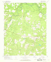
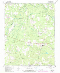
Editions of this 1967 Sussex Map
3 editions found
Other maps of this area

1894 · Petersburg
USGS Topo · 1:62,500

1919 · Jarratt
USGS Topo · 1:62,500

1919 · Disputanta
USGS Topo · 1:62,500

1919 · Homeville
USGS Topo · 1:48,000

1920 · Homeville
USGS Topo · 1:62,500

1943 · Sebrell
USGS Topo · 1:31,680

1943 · Littleton
USGS Topo · 1:31,680

1943 · Richmond
USGS Topo · 1:250,000

1944 · Reams
USGS Topo · 1:31,680
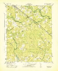
1944 · Nebletts Mill
USGS Topo · 1:31,680